This week I decided to walk a part of the Wiouwash trail that my family walked several years ago. My wife was busy at work so she could not accompany me. Because of this I did not want to do something new. There are already several trials that I need to revisit with her.
Key Features
- Named for Four Counties: The trail’s name is an acronym derived from the first two letters of the four Wisconsin counties it traverses or was intended to traverse: Winnebago, Outagamie, Waupaca, and Shawano.
- Rail-Trail Conversion: The trail follows the corridor of a former Chicago and Northwestern Railway line, offering a relatively flat and straight path.
- Two Disconnected Sections: Currently, the 47.5-mile trail is in two separate sections with a gap of about 30 miles between them.
- Southern Section: The longer southern segment runs for approximately 22 miles from Hortonville south to just north of downtown Oshkosh.
- Northern Section: The northern segment spans about 24 miles between Aniwa and Split Rock in Shawano County.
- Scenic Variety: The trail offers diverse landscapes, including native tallgrass prairies, farmlands, forests, and views of Lake Butte des Morts.
- Tribal Heritage Crossing: A significant feature is the Tribal Heritage Crossing over Lake Butte des Morts near Oshkosh, which includes 13 kiosks detailing the history of Wisconsin’s Native American tribes.
- Connections to Other Trails: The Wiouwash Trail connects with other prominent trails, including the Mountain-Bay State Trail in Eland and the Friendship State Trail near Larsen.
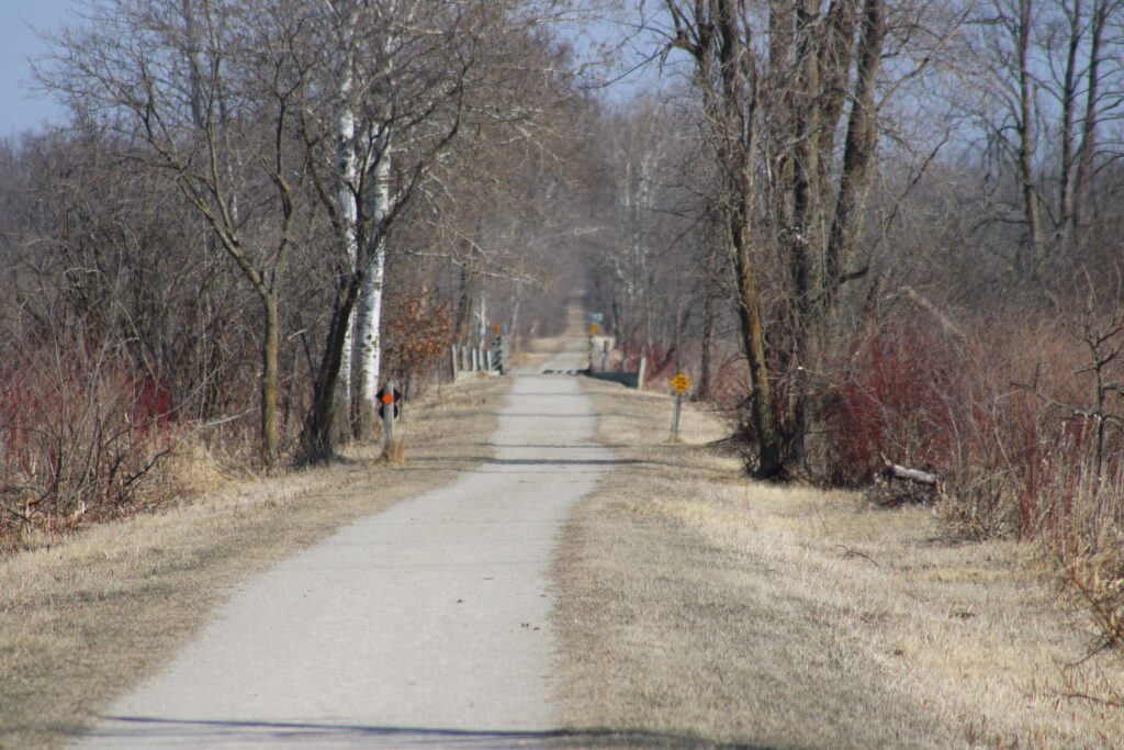
- Multi-Use Trail: The crushed stone and paved surfaces accommodate various activities such as walking, hiking, biking, and horseback riding (on designated sections). Snowmobiling and cross-country skiing are permitted in winter.
- Wildlife Viewing: The trail passes through areas like the Rat River Wildlife Area, offering opportunities for bird watching and observing other wildlife.
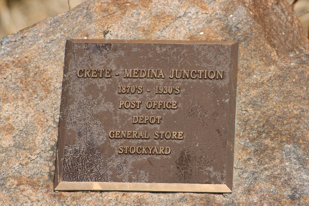
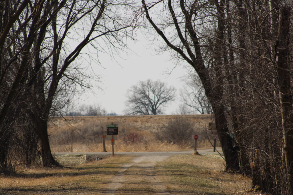
The section of the trail that I walked was from the Medina Junction Rd Trail Head to the Tunnel under Highway 10. When I arrived there were already several cars parked in the lot and I could see hikers on the trail.
My first task was to walk a little north to get some pictures of the signs. I also wanted to see if I could get an angle on a large nest I had seen from the road at the top of a power pole.. Unfortunately the trail had a bad angle away from the nest so I could not get any good pictures.
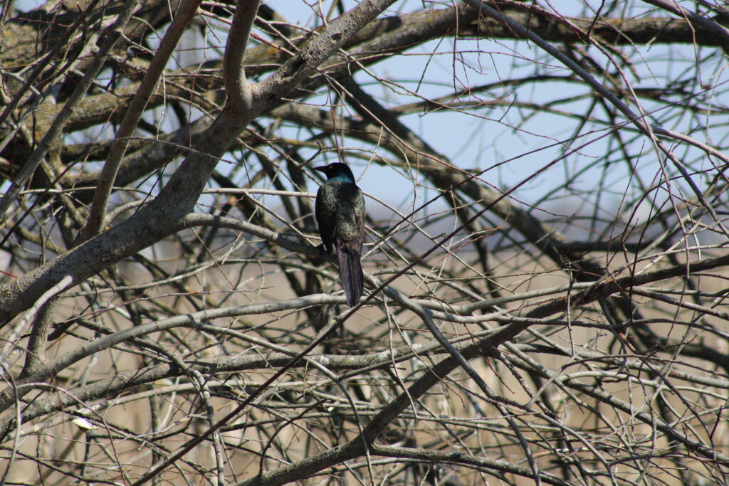
It seemed that the day might be a wash for nature photos. Several song birds flushed off their perches as I raised my camera. I was even certain I saw a King Fisher at one point but he was too fast for me.
I started south after getting my photos of trail signs. After a couple of minutes of walking and some photographs of the trail itself I came upon a couple with a small child. They helpfully informed me that two swans were fighting some geese further down the trail. I thanked them and continued walking.
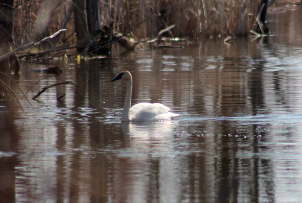
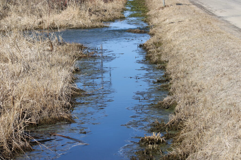
After about a hundred yards a canal stretched out east of the trail and I could see the swans. By this time the geese were gone but a few ducks milled around the swans. Unlike the song birds the swans seemed to like the camera and started swimming toward me. I was able to get some great pictures of them.
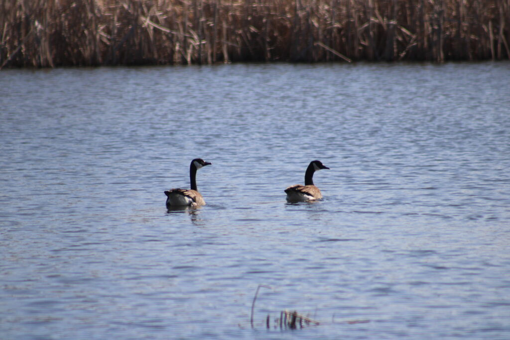
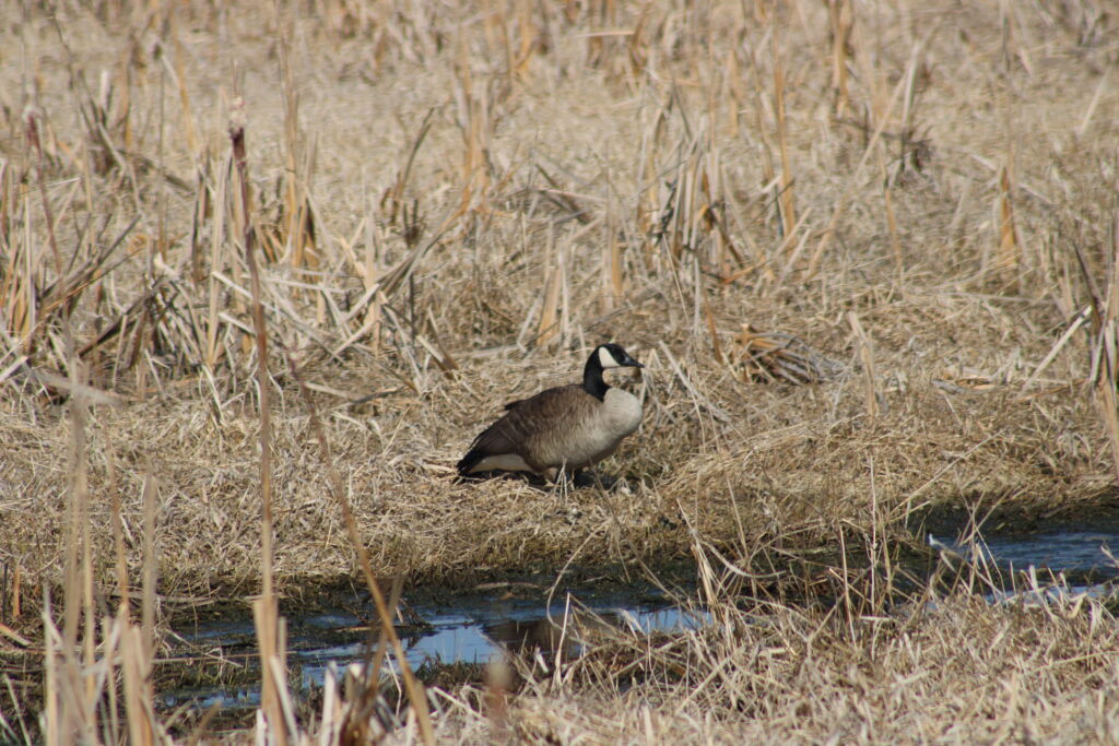
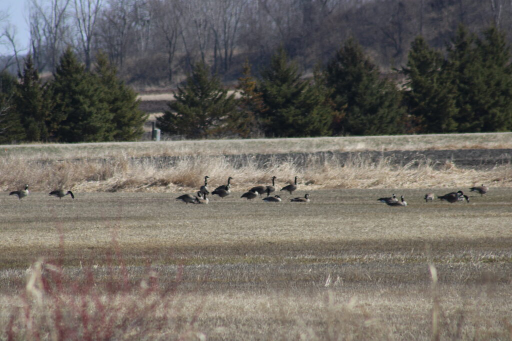
I decided to continue on. Further down the trail I saw a pair of geese that could have been the losers of the fight.
The Medina Junction Rd Trail Head is in the middle of the swamp surrounding the Rat River. The Rat River is a small river that feeds into the Fox River and then Lake Poygan. As I headed south the swamp eventually gave way to farm fields and small wooded areas.
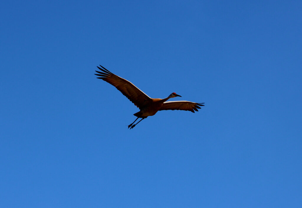
At this time of year some of these wooded areas are flooded making a great place for ducks geese and even Sandhill Cranes to nest. I saw a couple as I continued to walk south.
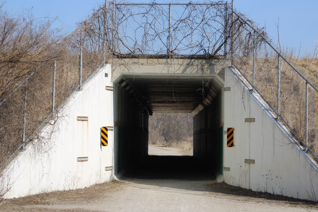
Eventually I crossed Fairview Rd and the intersection of the Friendship Trail we walked a couple weeks ago. At this point the Friendship Trail is just on the North side of Highway 10. The Wiouwash Trail has a tunnel under Highway 10. If I was a little more adventurous I could continue walking all the way to downtown Oshkosh.
Instead I decided to turn around and return to my car. A nice older couple stopped and talked to me as I returned to Fairview Rd. They asked me if I had taken any good pictures. I told them about the swans. They informed me that they had seen them as well as the geese and other water foul. Since I had just seen them park at the Fairview Rd Trail head I assumed they hiked Wiouwash often.
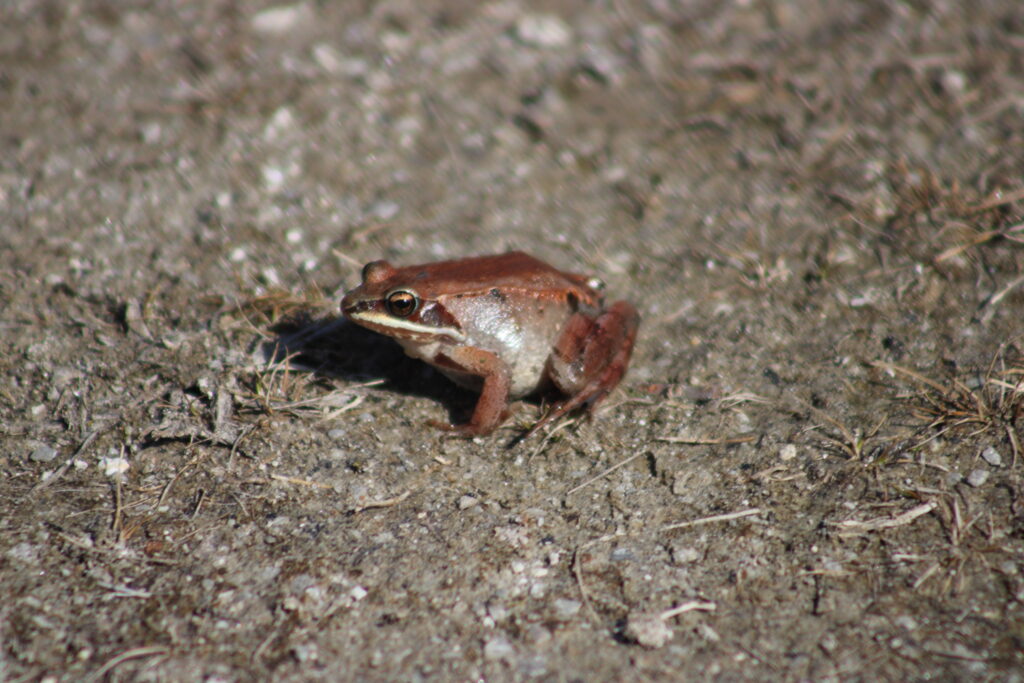
I continued back north taking a picture of a flying crane as I walked. Moments later movement at my feet drew my attention. A small brown frog was hopping across the trail. He stopped in the middle of the trail and posed like a model. After taking a few pictures of him I tried to urge him to continue on his way by nudging him with the base of my monopod but he chose to stay where he was.
I continued on to my car, pausing only to look at the swans again. This time they were further down the canal. Finally I reached my car content with the photos I had taken.
My wife and I want to return to this trail in the future. It is a great trail to take in sections. But as there are no real loops in this trail you either walk the section of trail then walk back to your car or stage vehicles for longer hikes.
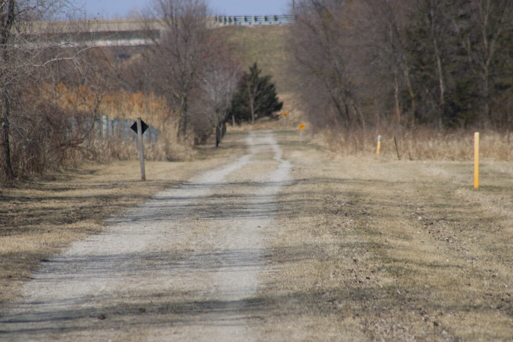
Most of the trail I hiked was gravel and the state mowed the grass around the trail. Trees that fell across the trail were cut up and moved off the trail. So even though this trail is out side of the city its an easy hike or a bike ride. But be warned on this section of the trail we have seen miniature horse and buggies.
Let me know if you have walked any section of the Wiouwash Trail in the comments. Or if you plan to in the future. Thank you again for visiting my blog. And be safe hiking.
Another great post. Love the way you capture the trail and tell the story of your travels. Swan is very cool.