
The original plan was to wake up early yesterday to walk the Wiouwash trail between Medina and Hortonville. However due to rain I decided we should walk a shorter trail. That trail was the two trails connected by the Nelson Family Heritage Crossing.
Key Features
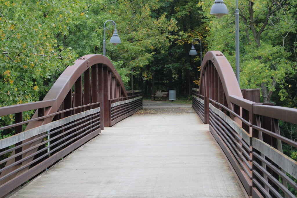
- Purpose and Location: The Nelson Family Heritage Crossing is a 1,100-foot pedestrian and bicycle bridge that spans the Fox River, connecting Heesakker Park in the Village of Little Chute to a new rail trail in the City of Kaukauna, Wisconsin.
- Part of a Larger System: The crossing is a crucial link in the “Loop the Locks” trail network, a 13-mile system that connects the downtown areas and parks of five Fox Valley communities: Appleton, Combined Locks, Kimberly, Kaukauna, and Little Chute.
- Opening and Construction: The project broke ground in August 2020 and officially opened to the public on June 18, 2021, transforming a former industrial area into a public recreational space.
- Cost and Funding: The total cost of the project was approximately $3.5 million. It was largely funded by over $2.7 million in grants and private donations, with the remaining costs split evenly between the City of Kaukauna and the Village of Little Chute. A significant contribution came from the David and Rita Nelson Family Fund.
- Accessibility and Features: The bridge and its connected trails are handicap accessible and are lit from dusk until 11:00 PM. It is a multi-use path for walking, biking, running, birdwatching, and fishing.
- Economic and Community Impact: The project aims to improve public health by encouraging physical activity and is also expected to boost the local economy by attracting visitors and increasing property values in the area.
- Historical Significance: The bridge’s design, which includes weathered steel and cable-style railings, was chosen to reflect the industrial history of the Fox River. The crossing also opens up views of the historic lock system.
- Trail Connections from Little Chute: In Little Chute, the crossing can be accessed via trails from Heesakker Park or Island Park.
- Trail Connections from Kaukauna: In Kaukauna, the bridge is accessible from downtown via a sidewalk connection and a paved rail trail along 3rd Street. A trailhead parking lot is available on Bicentennial Court.
- A Signature Project: The crossing is considered a signature project for the Community Foundation for the Fox Valley Region, made possible by the significant philanthropic legacy of David and Rita Nelson, a family with deep roots in Kaukauna.
Review
The crossing is a trestle bridge that connects the Island Park Trail in Little Chute and an unnamed trail leading to downtown Kaukauna. I hiked and posted about this trail earlier in the year.
We parked in Doyle Park as close to the lock channel as possible. Exiting the vehicle we got ready for our hike. Earlier this year the park was covered in a light layer of snow. Yesterday however the temperature was in the upper 60s and would get into the 70s by the end of our walk.
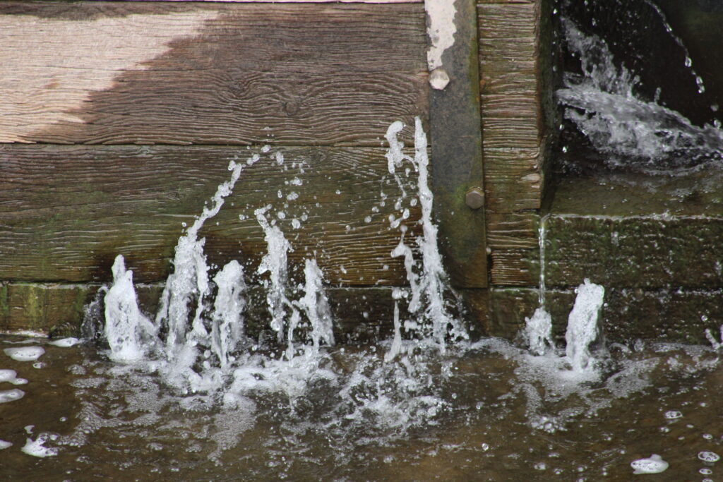
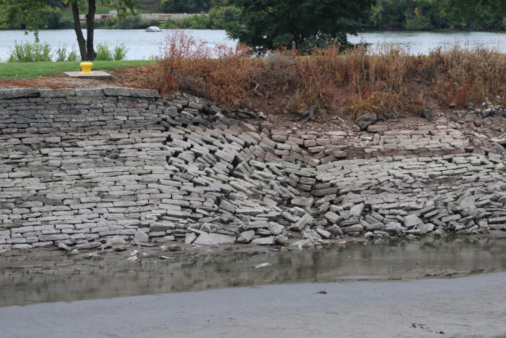
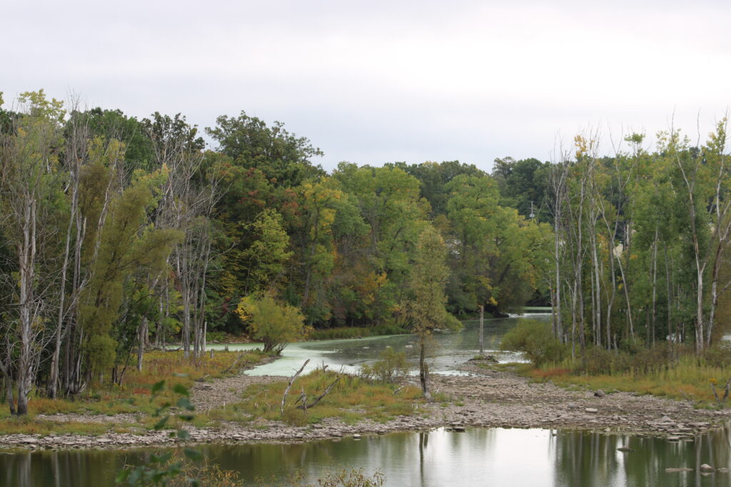
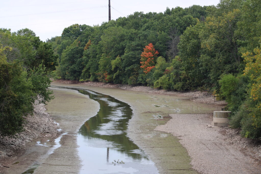
As with earlier in the year the channel was still drained. But there was no sign of the construction equipment. The drained channel though was still full of wildlife.
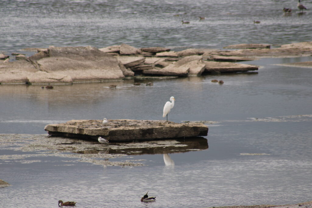
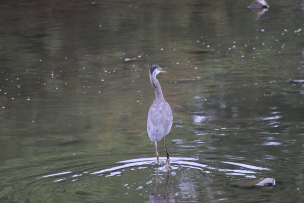
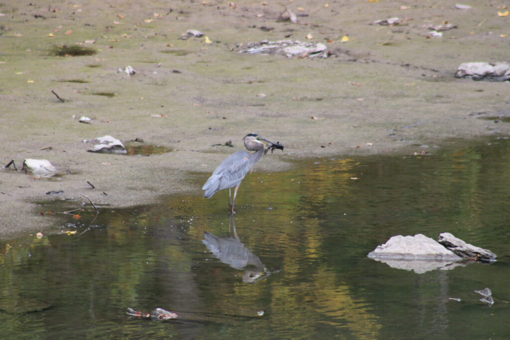
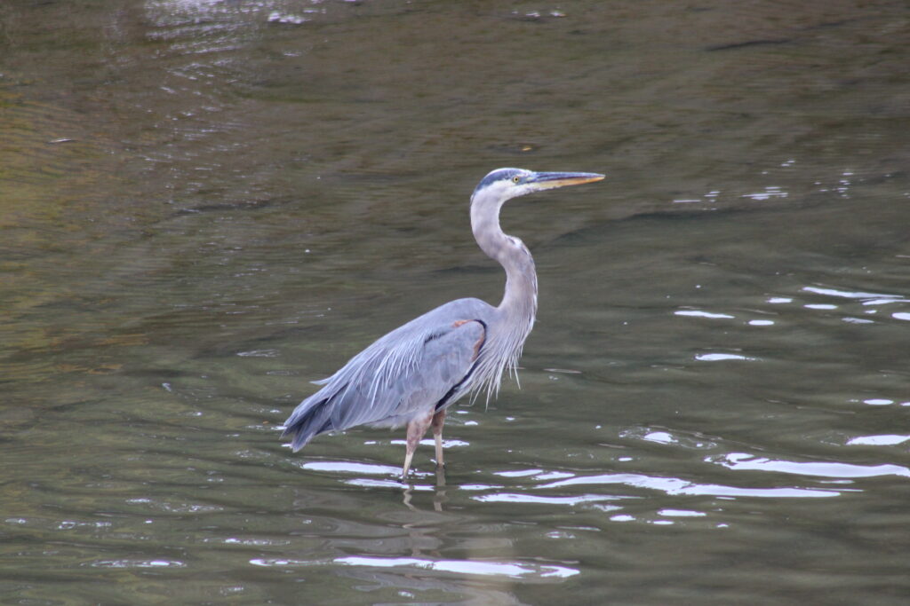
Walking west toward the lock we almost immediately saw a Blue Herron, which happened to be swallowing a small fish. The channel was drained but not completely empty. A small stream of water drained from the lock and traveled down the channel to the other two locks in the channel.
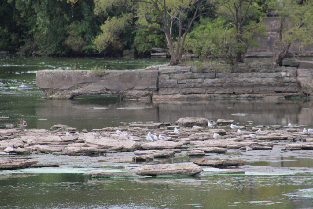
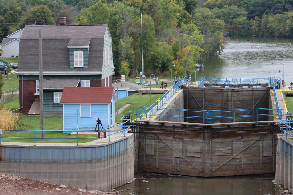
Climbing the hill to the top of the lock we were presented with the drained lock landing. A gravel path lead from the lock to the lock tenders house. Following the path we reached the lock tenders house where a bridge awaited us to bring us to Island Park.
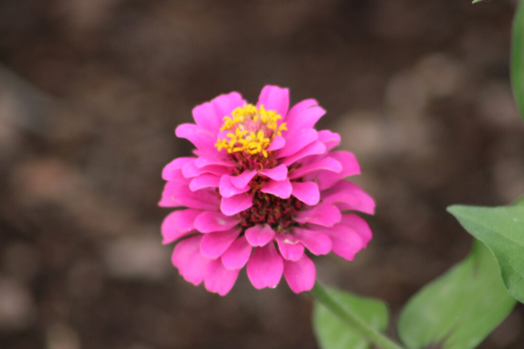
As we crossed the draw bridge I looked down at the lock door that separated the main Fox River from the lock channel. Leaks in this door fed the now small stream that occupied the drained channel.
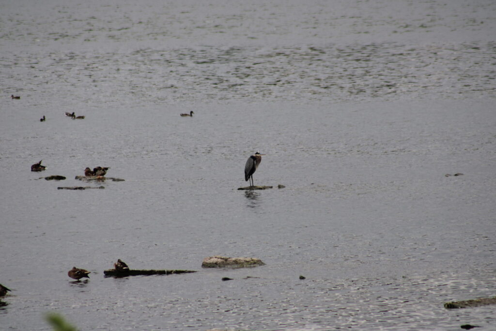
After crossing the bridge we walked to the west end of Island Park and looked at the wider Fox River. While no where near the size of the Mississippi River, the river is still impressive. The dam here looked to be close to 600 feet across or more.
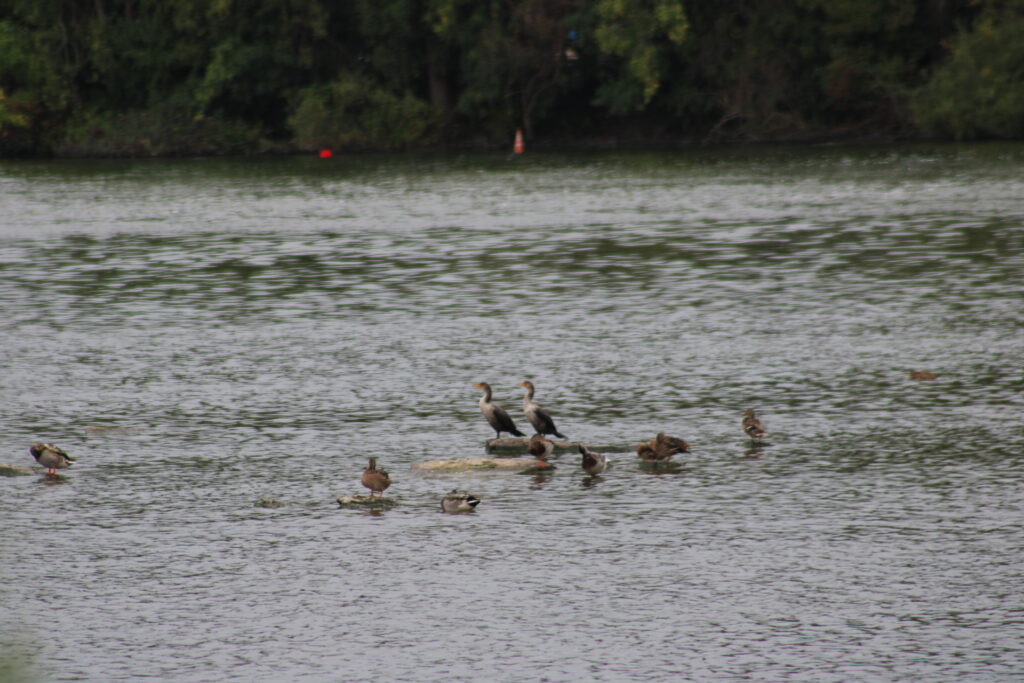
Below the dam we could see the river was low. A field of rocks and boulders filled the river beneath the dam. Flocks of geese and ducks milled about in the rocks. A Greater White Egret groomed himself in the middle of the rocks.
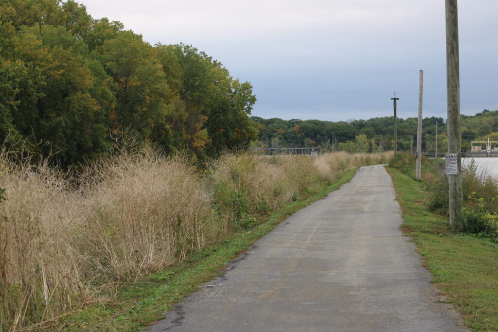
After observing the water fowl for a short time we started down the dike separating the Fox River and the channel. Other people passed us on bikes and on foot as we walked east toward the bridge.
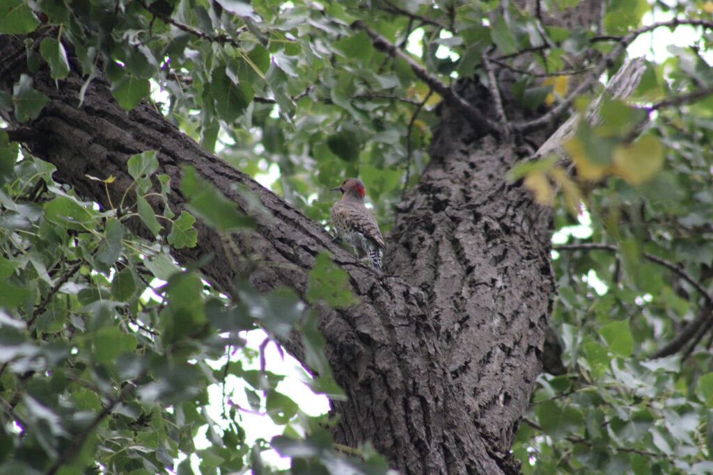
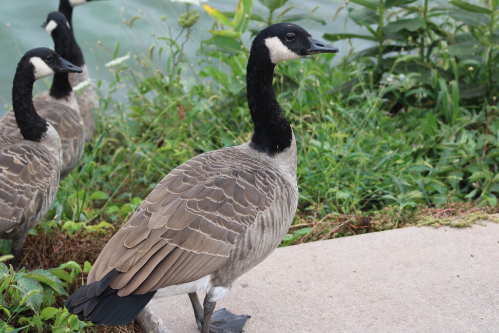
We continued our walk, passing geese who seemed to think that the dike was theirs. They hissed at us but slowly waddled down to the river.
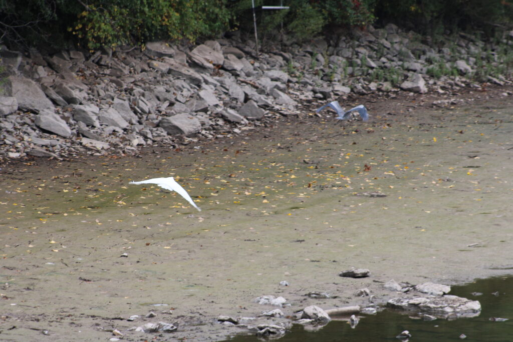
On the other side of the dike, we encountered more Blue Herron and Great White Egrets. We took a couple pictures and continued on.
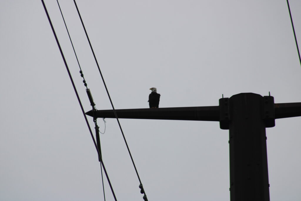
Then I heard a familiar sound. The call of a bald eagle drew my attention to one of the power poles. More pictures were taken and we moved on to the next land mark.
The second dam was a little more impressive than the first. The Fox River narrowed here and the water level above the dam was around 25 feet higher than the river below the dam.
Fewer birds mingle below this dam but the visuals where much more dramatic. The river takes a sharp turn around a man made island, called Little Chute Island. The Lock channel was cut through the ridge line here. The island this created, rises almost a hundred feet above the river below.
The trail rose up this hill to a fork in the road. This is were the Nelson Family Heritage Crossing splits off the Island Park Trail. Pair of women informed us that there were more eagles on the trail east of the crossing.
We could have turned back at this point and returned to our car by crossing a tall bridge across the lock channel. Instead we continued and crossed the river. Up to this point we were walking the trail I review before. But as we crossed the river we were walking on a new trail.
Looking up this trail system I tried to find a name for this section of the trail. However I could not find anything. This section of the trail follows the old rail line along the river into Kaukauna.
As we walked the trail, homes and apartments lined the ridge above us. And of course the edge of the trail was lined with no trespassing signs.
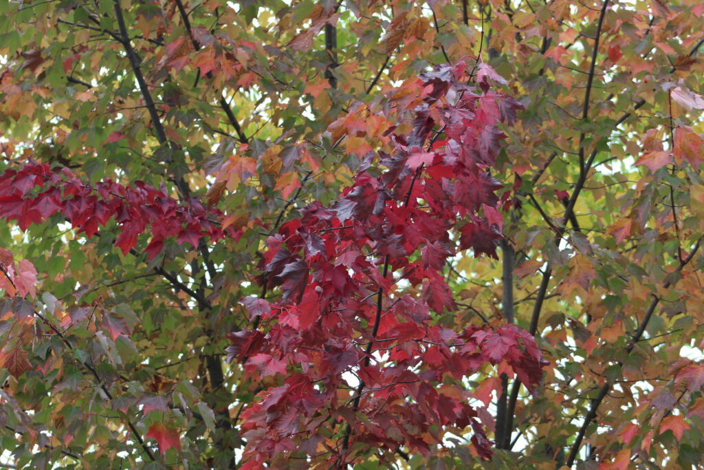
More people passed us as we walked until it started to rain. I pulled out my water proof bag to protect my camera.
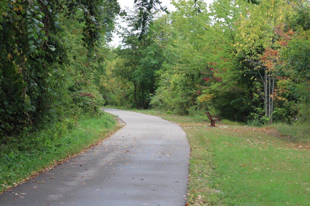
The number of people we encountered while hiking dropped after it started raining. However the rain only came down lightly for about 10 minutes.
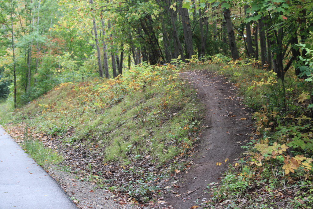
We pushed until we reached the eastern end of the trail. Stopping for a short rest we looked up the hill at La Follette Park in Kaukauna.
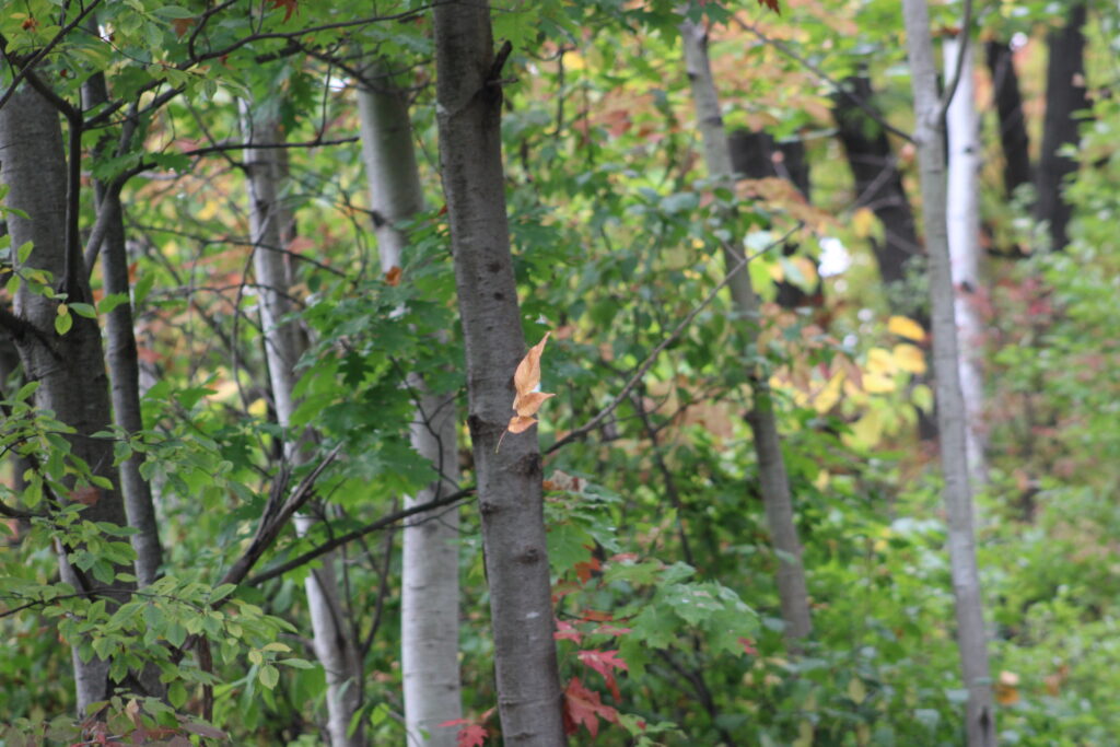
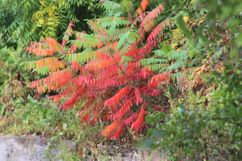
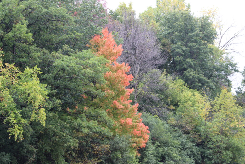
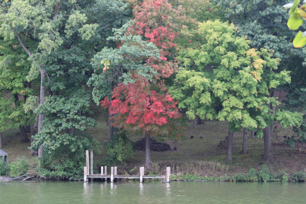
Eventually we started back to our car. Walking back toward we lamented the lack of visibility to the river. The bank of the river was covered in trees and brush making the view of the river difficult. But it offered us a view of the leaves starting to turn color.
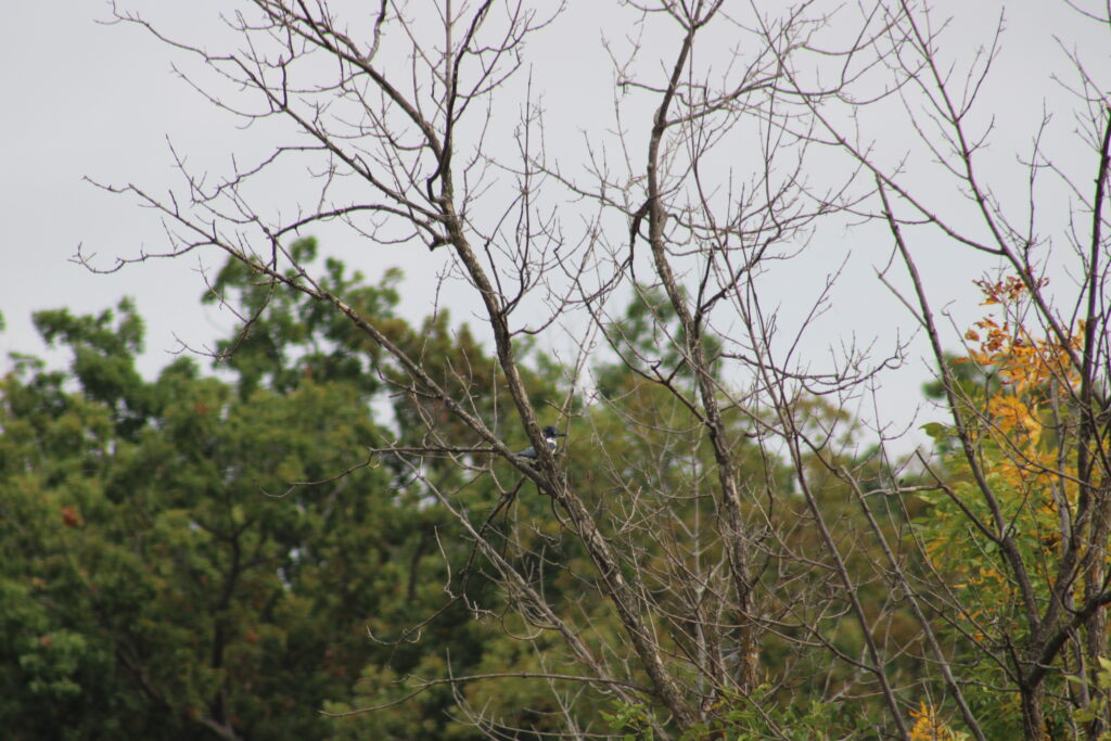
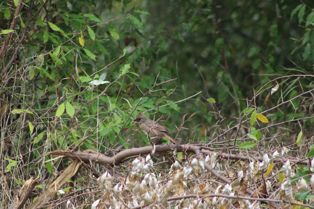
As we started to cross the river my wife saw another Blue Heron stalking fish on a small island. Reaching the other side of the crossing a Kingfisher flew up into a barren tree. Hiking up the hill to the bridge from Little Chute Island to Heesaker Park, cardinals played in the brush around us.
We stopped on the bridge to observe the lock channel. This bridge is a fixed bridge that would be almost 50 feet above the normal water level of the channel. We got a raised view of the two locks which are the name sake of the village of Combined Locks.
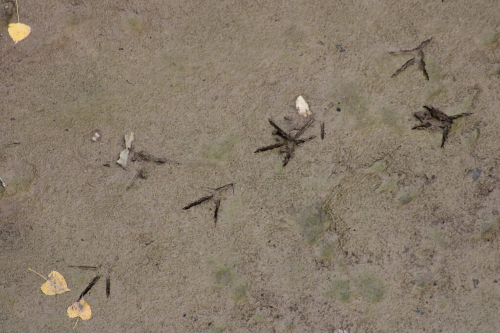
Below the bridge we could see deer and heron prints in the mud of the drained channel. After taking a few more pictures we decided to enter Heesaker Park.
Heesaker Park is more of a forest than a park. The trees surround a stream cutting down into the ridge to the river below the locks. And other than hiking trails that range from black top to muddy foot paths that snake through the park, there is very little man made structures that we can see.
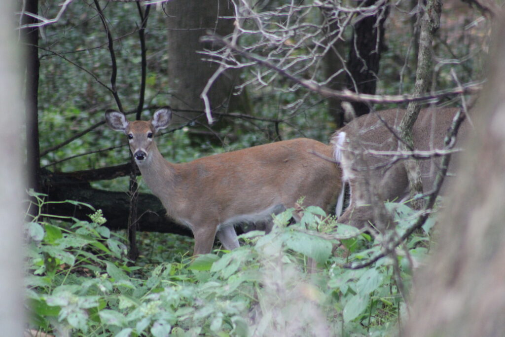
Exploring the park, I took a few photos of the almost tame deer that call the park home. A local resident regaled me of tales of deer walking up to him as he used to work in the park.
Eventually we decided to leave the park and return to our car. From this point on our path lead us through the neighborhood on top of the north ridge next to the river.
We were still able to see the power pole that the eagle was perch on earlier. Another eagle had decided to perch up there as we got close. This eagle however looked like a younger bird. Its head was not fully white.
We ended our hike back at our car having enjoyed our altered trip. Having checked our distance later, we hiked just over 5 miles. We saw lots of wild life even though we were surrounded by the Fox Cities.
These trails are a part of the larger trail system that runs through the Fox Cities. Starting near Fox Valley Technical Collage, using trails, parks, and sidewalks you can walk all the way to Thousand Island Nature Preserve on the east side of Kaukauna.
Thank you again for reading my posts. Feel free to comment below. And please share my content with your friends and family.
Super cool!!!!
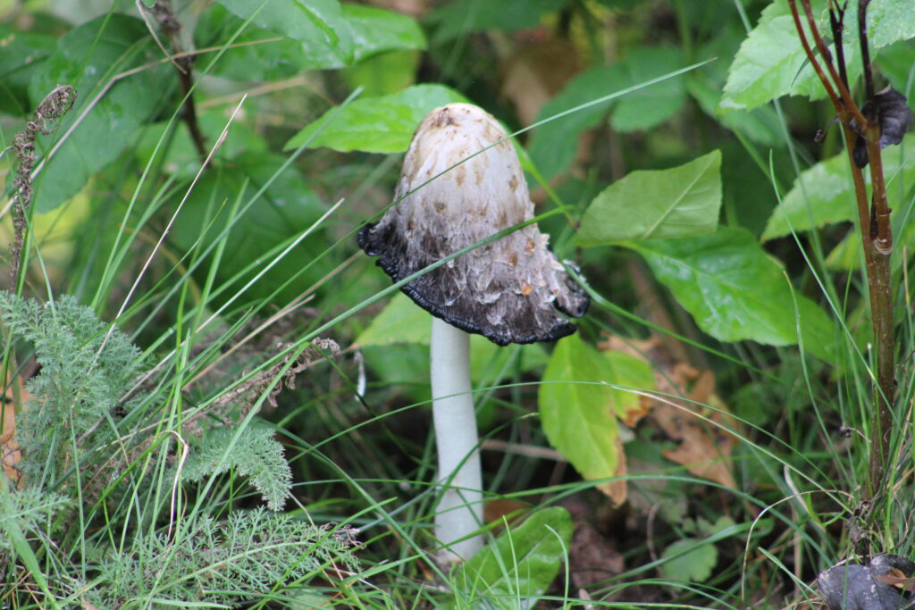
Fall is coming and you captured it beautifully. Mushroom pic is one of my favorites!