For years now I’ve been driving past a little parking lot in Medina WI. This parking lot is the first time I ever saw the Wiouwash Trail. But until yesterday I had never stopped at this little parking lot.
Key Features
- Named for Four Counties: The trail’s name is an acronym derived from the first two letters of the four Wisconsin counties it traverses or was intended to traverse: Winnebago, Outagamie, Waupaca, and Shawano.
- Rail-Trail Conversion: The trail follows the corridor of a former Chicago and Northwestern Railway line, offering a relatively flat and straight path.
- Two Disconnected Sections: Currently, the 47.5-mile trail is in two separate sections with a gap of about 30 miles between them.
- Southern Section: The longer southern segment runs for approximately 22 miles from Hortonville south to just north of downtown Oshkosh.
- Northern Section: The northern segment spans about 24 miles between Aniwa and Split Rock in Shawano County.
- Scenic Variety: The trail offers diverse landscapes, including native tallgrass prairies, farmlands, forests, and views of Lake Butte des Morts.
- Tribal Heritage Crossing: A significant feature is the Tribal Heritage Crossing over Lake Butte des Morts near Oshkosh, which includes 13 kiosks detailing the history of Wisconsin’s Native American tribes.
- Connections to Other Trails: The Wiouwash Trail connects with other prominent trails, including the Mountain-Bay State Trail in Eland and the Friendship State Trail near Larsen.
- Multi-Use Trail: The crushed stone and paved surfaces accommodate various activities such as walking, hiking, biking, and horseback riding (on designated sections). Snowmobiling and cross-country skiing are permitted in winter.
- Wildlife Viewing: The trail passes through areas like the Rat River Wildlife Area, offering opportunities for bird watching and observing other wildlife.
Review
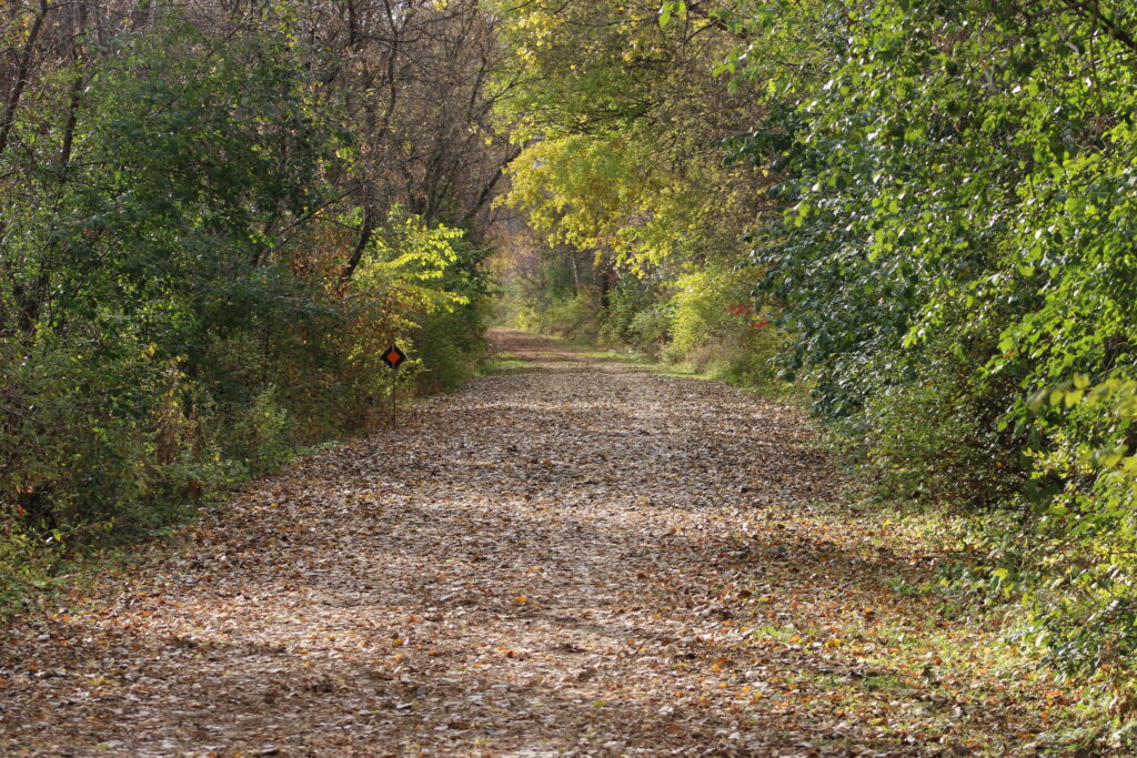
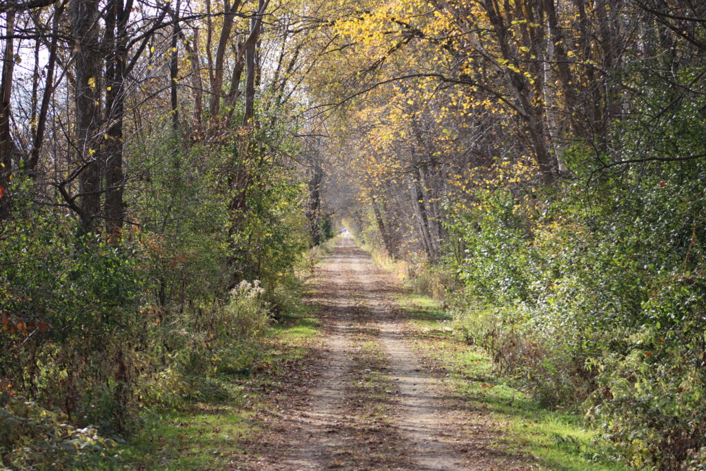
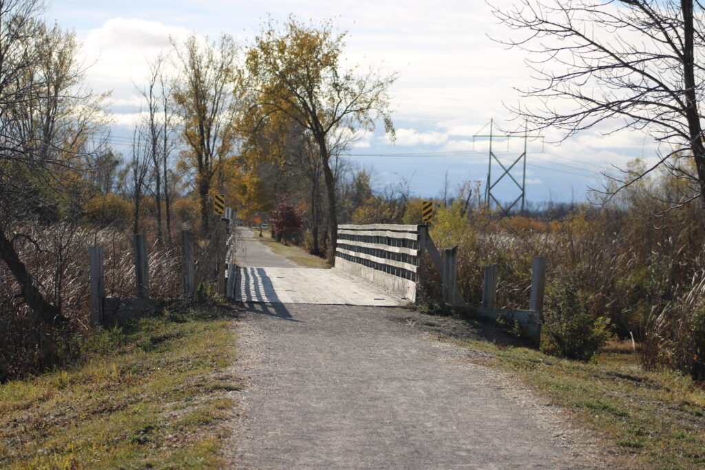
So yesterday my wife and I drove out to Medina WI and parked in this small parking lot. We chose to walk south from Medina to the Rat River. About a 5 mile round trip.
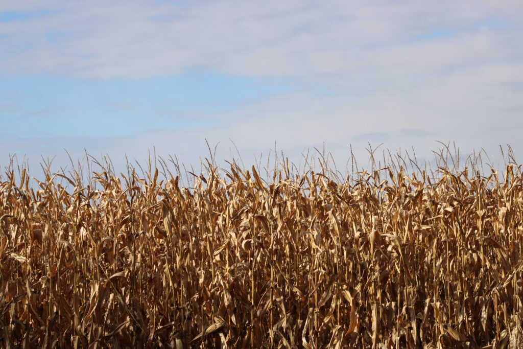
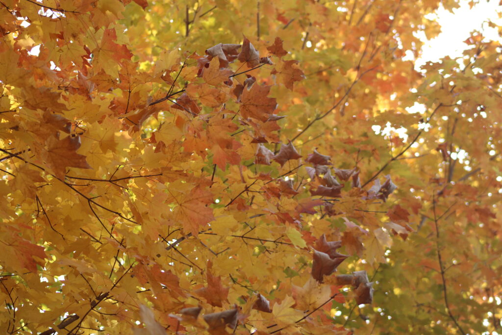
The first few yards we started to be concerned about not seeing any birds. We could hear them flocking in the fields around the trail. The beginning of our hike was shielded from these fields by tall trees lining both sides of the trail.
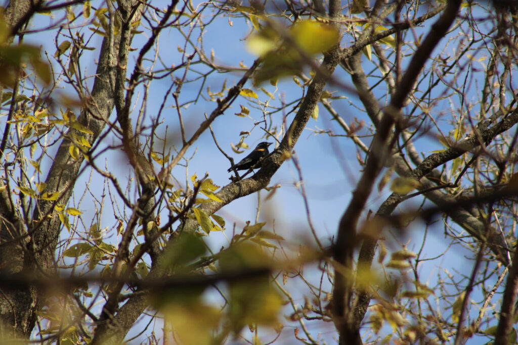
By the time we got to Hunters Rd though the birds started to flit in and out of the trees above us. At first I had a difficult time identifying the species but the tell tale trill of a Redwing Blackbird tipped us off.
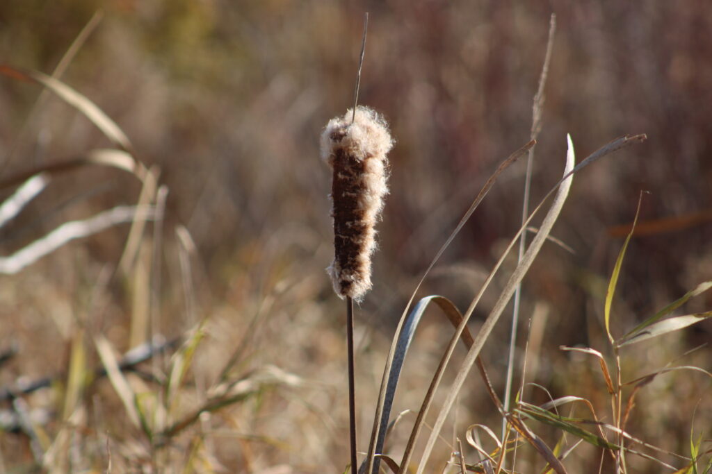
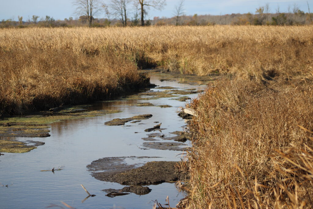
Eventually the farm fields and trees lining the trail gave way to the cattail marshes surrounding the Rat River.
A pair of bow hunters came out of the tree line with a wagon carrying a buck. The six point buck had a nice sized basket which would have been an 8 pointer with a little more growth on the year.
We then crossed the Outagamie Winnebago county line as a group of backpackers passed us.
There was a light crowd on the trail yesterday. A few people before the backpackers and many of them were walking their dogs. Only a couple of bicyclists.
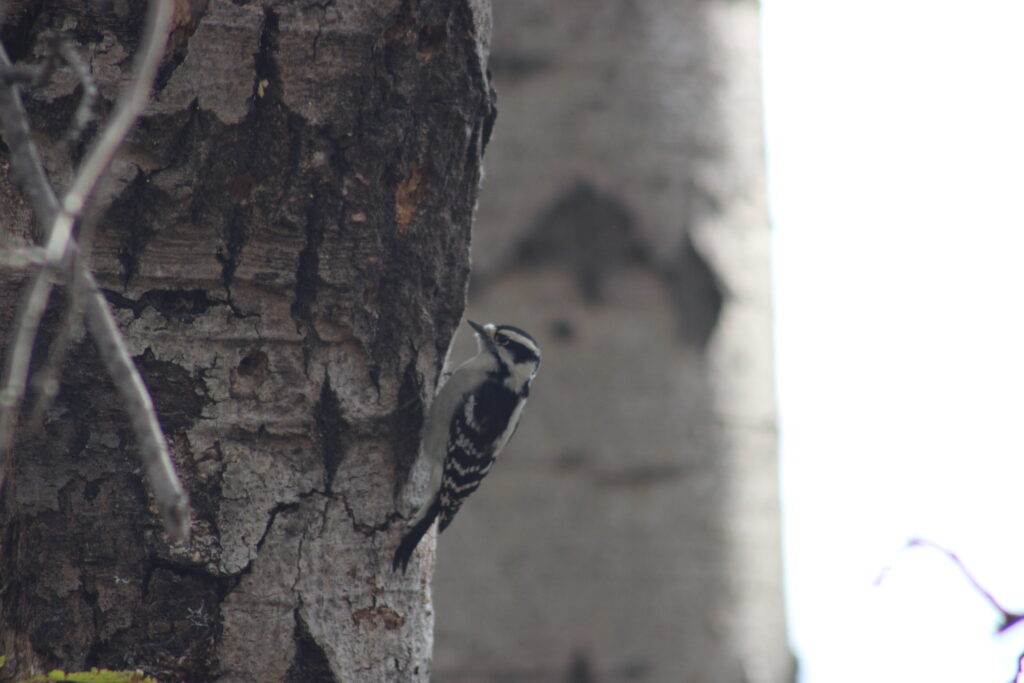
When we get to the bridge over the Rat River it was seemingly a quick walk with little stopping for photos. But the return to the parking lot had more birds than we expected.
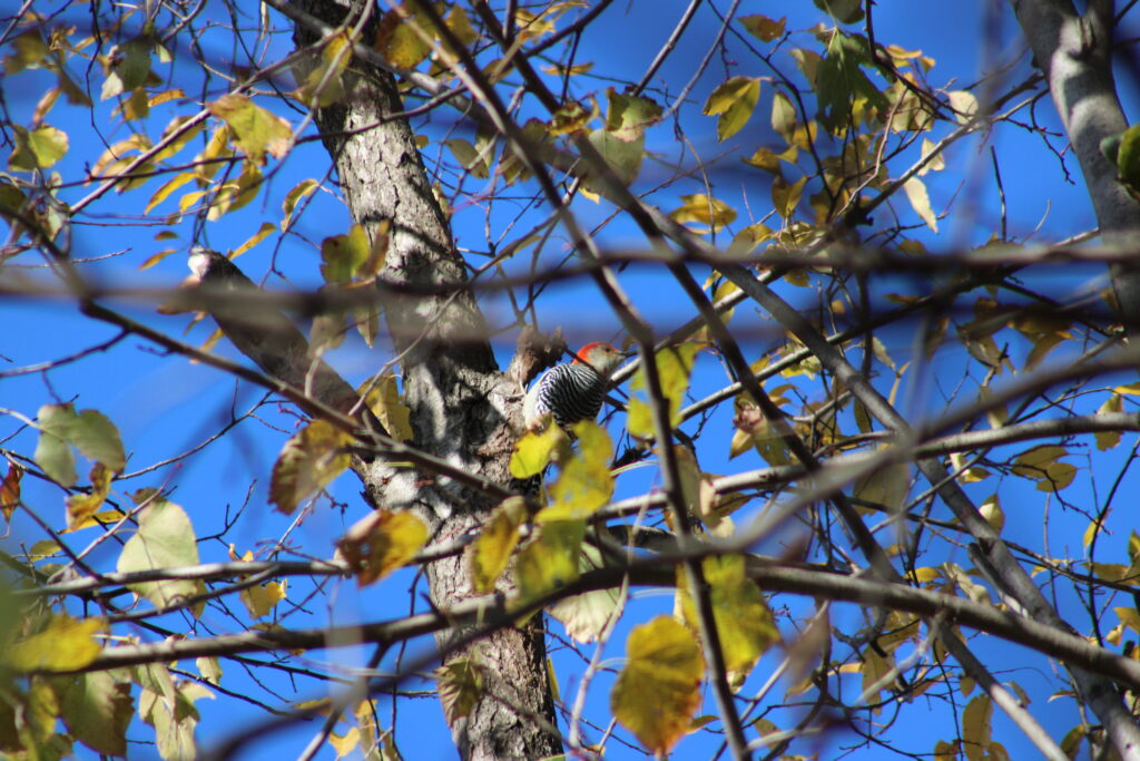
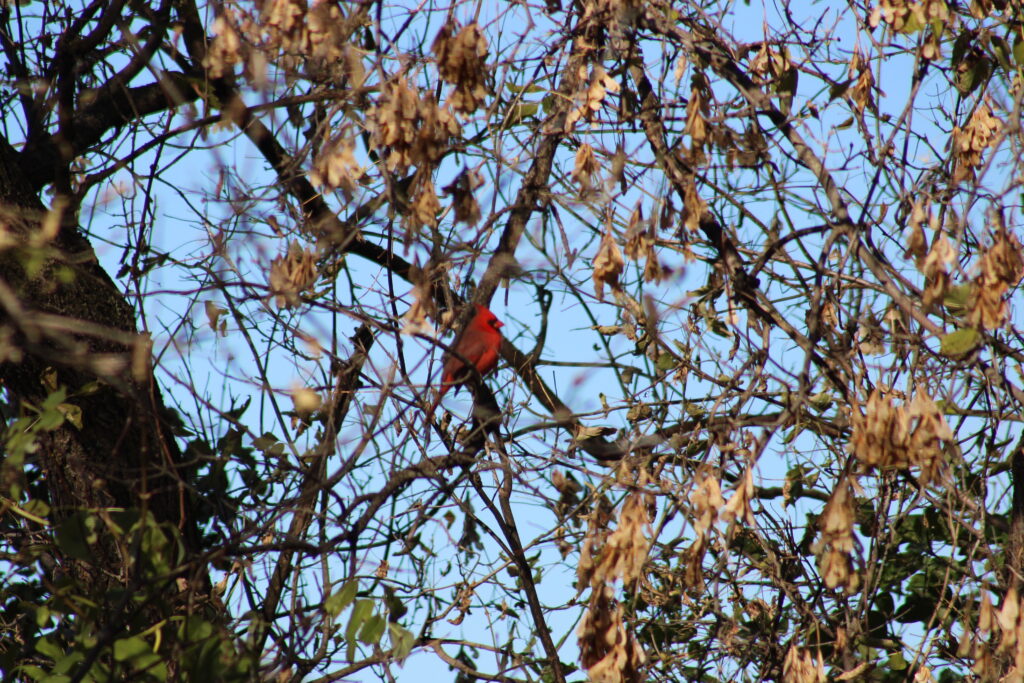
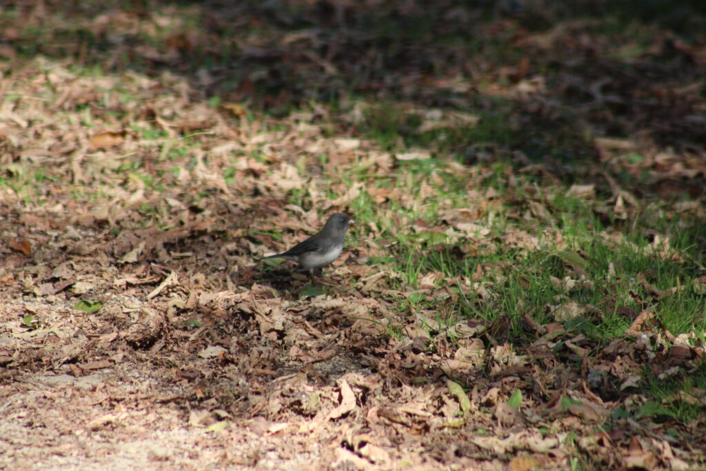
It started with a Red Belly Woodpecker. Continued with another flock of Redwing Blackbirds. A Cardinal and some Juncos.
It was good to get back on a proper trail again. It was a beautiful day for a hike. The hike had great views of farm fields and the marsh.
This is a trail we love to hike. We are slowly hiking different sections of the trail and eventually we will finish the trail. Keep reading and watching for more pictures.
Thank you for reading and I hope you enjoyed the pictures. Feel free to leave a comment and I hope you stop by next week.
What cute birds <3
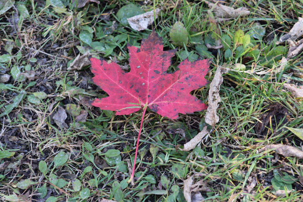
Love all the bird shots. Still some great fall colors out there!