

This week I took a short trail and made a longer hike out of it. Overall I estimate that the hike was about a mile and a half. However there is no map of this trail to measure at the moment.
Key Features
- Location: The trail is located in the Grand Chute area of Outagamie County, Wisconsin, situated northwest of Brewster Village and south of Fox Valley Technical College.
- Length: The trail is approximately 3.4 miles long (though one source mentions a shorter “quarter-mile stretch” centered around the bridge itself, the full county trail system length is cited as 3.4 miles).
- Surrounding Area: It runs through a wooded green space known as the Old Stone Bridge Wooded Area, providing a natural setting in an otherwise developed area.
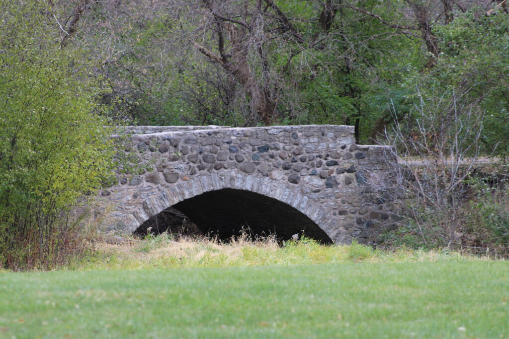
- Key Feature: The main draw is the historic Old Stone Bridge, which is a significant architectural and historical remnant in the area.
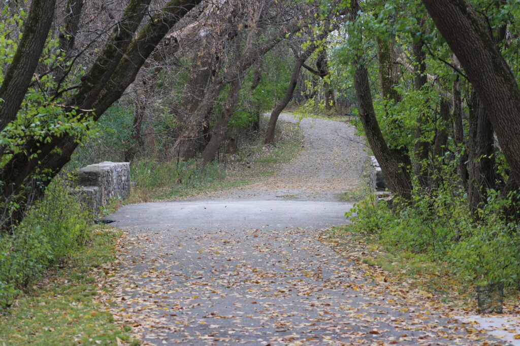
- Pavement: The trail is primarily a paved path, making it suitable for a variety of uses.
- Uses: It is a multi-use trail popular for walking, jogging, biking, and observing local wildlife like deer.
- Accessibility: The trail is considered wheelchair-accessible and stroller-friendly, and it is generally graded as an Easy route.
- Dog-Friendly: The trail is dog-friendly, though dogs must be leashed, and amenities like doggie waste disposal bags are provided.
- Connections: It provides a connection to Fox Valley Technical College and can link into other local walking or biking routes.
- Parking: Parking is available for the trail in a small area located to the northwest of Brewster Village (off West Brewster Street).
Review
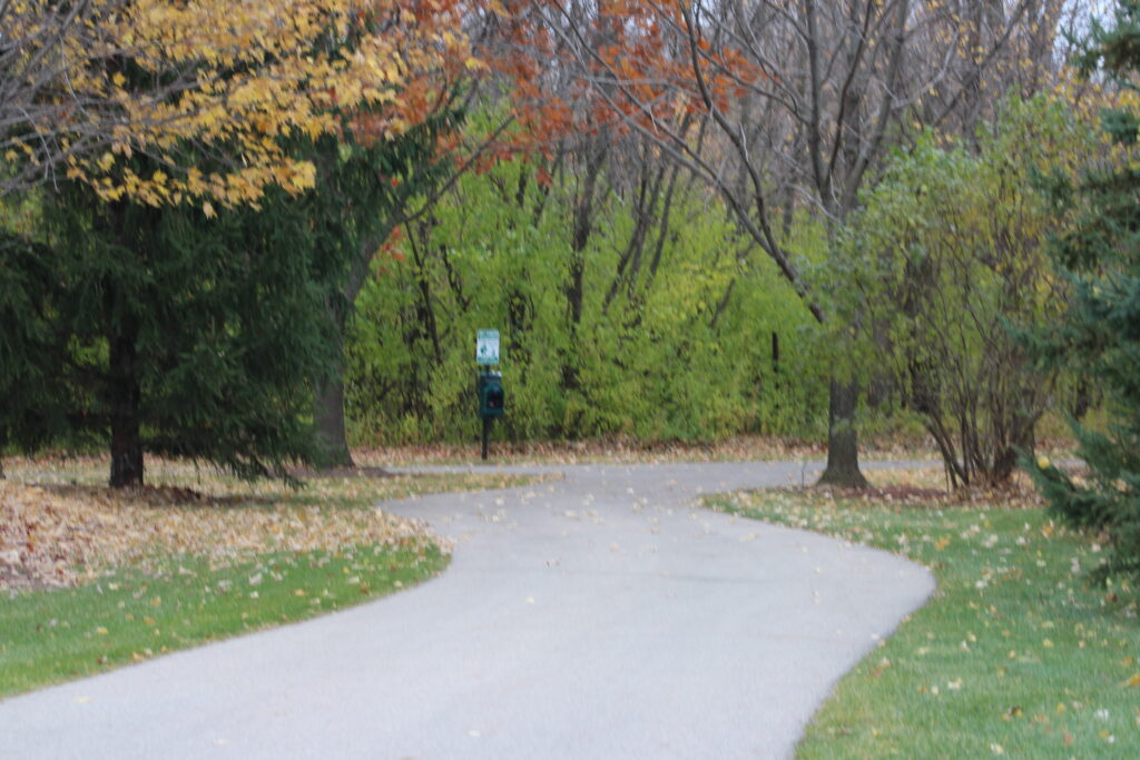
Old Stone Bridge Trail is a short quarter mile trail. The trail links the trails around Fox Valley Technical College and Brewster Village. Before this weekend I thought that Brewster Village was a housing unit for FVTC.

Helpful information I found on the trail informed me that I was wrong. Brewster Village is a rehab and long term housing facility. This facility replaced the old Outagamie County Mental Hospital. A building that was torn down years ago.
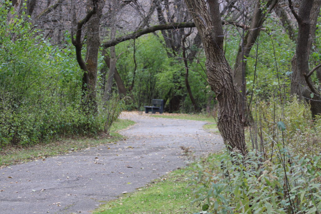
Now several signs and a refurbished memorial cemetery are all that mark the old facility. But I am getting ahead of myself.
On Saturday I tried to park near the Google Maps marked starting point but found that the parking lot had been demolished. The county is currently in the process of making a new dog park and lengthening the trail.
So instead I parked in the south lot of FVTC. My original plan was to walk north from Brewster Village around FVTC and back but my plans had changed.
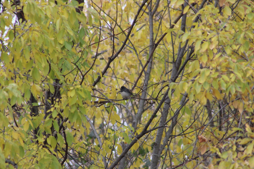
A quick picture of a noisy Bluejay and I started walking south. To my left a dense thicket of trees separated me from Bluemound Dr. To the right were the outdoor facilities for FVTC. This is where they taught their landscaping and grounds keeping courses.
Just a little past these facilities I encountered a gravel trail leading off to my left. Up to this point, like most of the trails around FVTC, the trail was blacktopped.
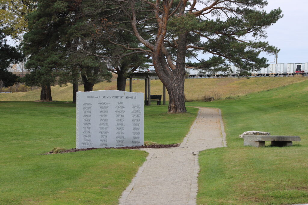
I looked down this gravel trail. The trail crossed the trucking training course and led to the Outagamie County Cemetery.
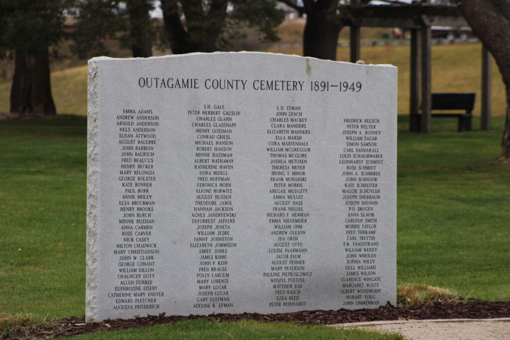
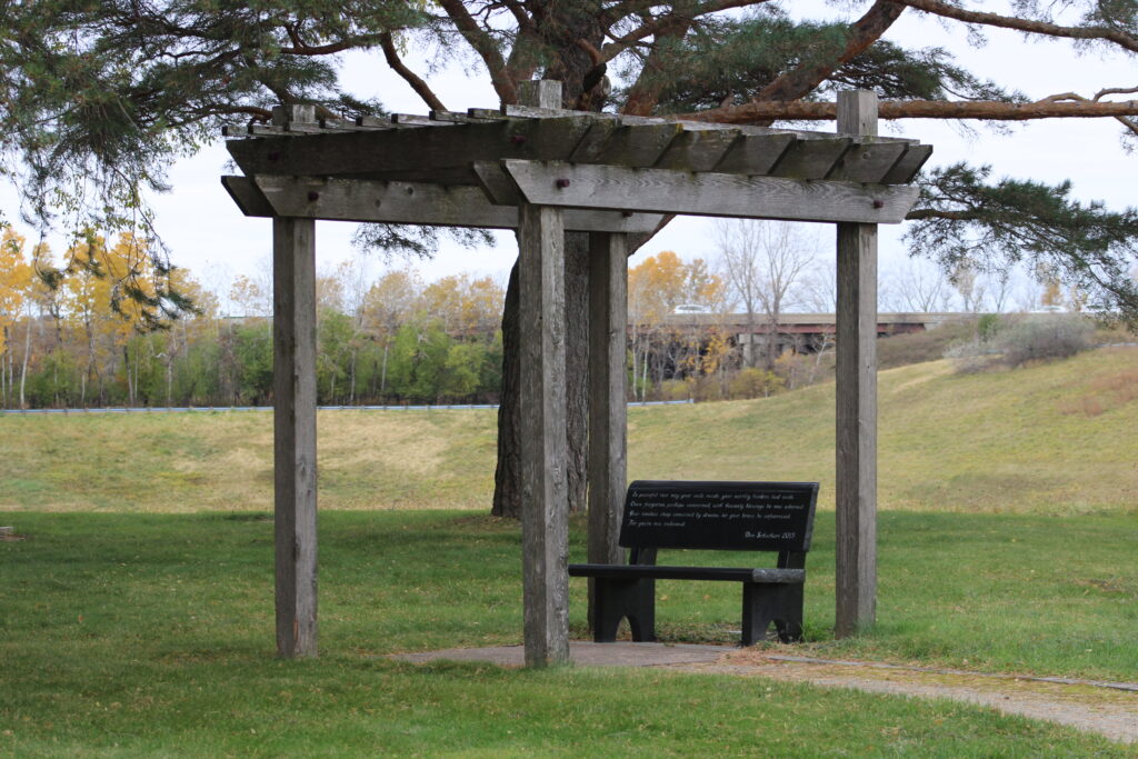
Not wanting to miss my chance to explore, I started down this new path. The cemetery is a memorial for the unmarked graves that exist here. Only a few markers exist to show where the deceased lay with the rest memorialized on a 10×6 granite marker at the entrance to the cemetery. A few benches and trees stand over this well groomed patch of grass.
I took some time to enjoy the serene view. Along with the cemetery there is a large retention pond inside of the training courses circuit. A few ducks paddled around in the water.
Making my way back to the trail, I started south again. Quickly I made my way to the old stone bridge which the trail is named for. Under this bridge is a small bubbling stream which eventually would lead to Mud Creek and the Fox River.
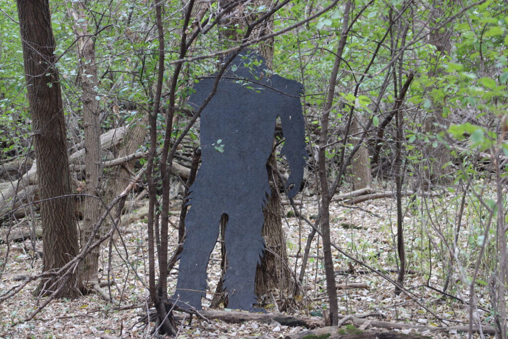
I continued south and that’s where I saw him. The infamous Big Foot, or at least a wooden silhouette of him. Hidden just off the path but he was missing an arm.
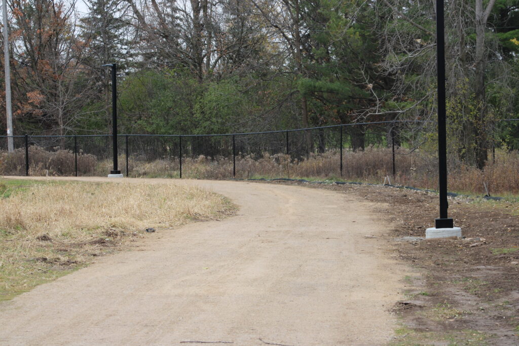
Shortly after that I reached the place Google Maps marked as the starting point for the trail. Here the trail is currently gravel. Leading between two newly fenced off areas that were marked as dog parks. I continued to Brewster St.

I headed east on Brewster St. Then used the sidewalk along Bluemound Dr to return to FVTC. This path gave me a good look at Brewster Village. The site looked like a large apartment complex.
The hike north was fairly uneventful. Cars whipped past me as I walked. A pair of mallards swam in another retention pond.
Eventually I returned to FVTC and my car. But not before a friendly couple informed me that an owl liked to frequent the woods near the stream.
This was a nice little hike with a good amount of historical knowledge added in. Check out the Appleton Historical Society for more information on the area.
Thanks again for reading and viewing my pictures. Feel free to leave a comment.
I never knew there was a graveyard near the Tech. Loving learning the history.