Yesterday my wife and I finally got to visit the Fox River State Trail. Earlier this year we tried to visit this trail. Unfortunatley that day De Pere was hosting a Memorial Day parade. The road was blocked to Voyager Park near downtown De Pere.
Key Features
- Length and Surface: The trail is approximately 25 miles long. It features a dual surface, with the northern, more urban section being asphalt-paved for about 10-11 miles, and the southern, more rural section surfaced with crushed limestone screenings. This makes it suitable for a variety of activities.
- Multi-Use: The trail is open to a wide range of activities. Users can enjoy walking, jogging, biking, and inline skating. Horseback riding is also permitted on a separate bridle path that runs alongside the main trail in the southern portion.
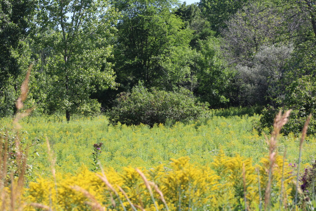
- Scenic and Diverse Landscape: The trail offers a varied landscape. The northern part follows the scenic Fox River, providing views of the water and urban areas. As it progresses south, the trail turns away from the river and travels through agricultural and rural countryside.
- Historical Significance: The trail corridor has a rich history. It was originally used by Native Americans as a footpath, then by French explorers and traders, and later became a railroad corridor in the late 19th century.
- Connectivity to Local Attractions: The trail provides easy access to several points of interest. It passes by places like the Hazelwood Historic House Museum, Heritage Hill State Historical Park, St. Francis Park, and Voyager Park in De Pere.
- Winter Activities: While some sections of the trail are plowed in winter for walking and biking, the unplowed limestone portions are open to winter activities such as cross-country skiing and snowshoeing. Snowmobiling is also permitted on the limestone sections south of Greenleaf.
- Required Trail Pass: An annual or daily state trail pass is required for most users aged 16 and over for activities like bicycling, inline skating, and horseback riding. Walking and jogging are free.
- Access and Parking: There are numerous access points and parking lots along the trail, making it convenient to start or end a trip at various locations.
- Health Trail Section: A specific “Health Trail” section is located in Allouez, offering an outdoor fitness challenge course for those looking for an extra workout.
- Part of a Larger System: The Fox River State Trail is part of the Wisconsin state park system. It also connects to other local trails, allowing for longer trips and exploration of the broader area.
Review
Part of the fun for me of going to these hikes is the drive out to the trails. This year however traveling has been a challenge. With Hwy 41 between Appleton and Green Bay under construction, I’ve been plotting alternative routes. Now the work on Hwy 41 is needed. The amount of traffic traveling back and forth between these two cities has outpaced the capacity of the corridor.
The problem is the other projects that surround the area. County Hwy E is a shortcut that I have used for years to avoid the traffic on Hwy 41 but they have decided to resurface the road late in the summer this year. In Appleton we have multiple overpasses and underpasses out due to the construction on Hwy 41. So the state also decided to restrict traffic on the Hwy 441 for updates to the bypass.
None of these projects seem to take into account the affect on traffic. Many of the surface streets in Appleton have been clogged with traffic all year long. But that is enough of me complaining about traffic, back to the trail.
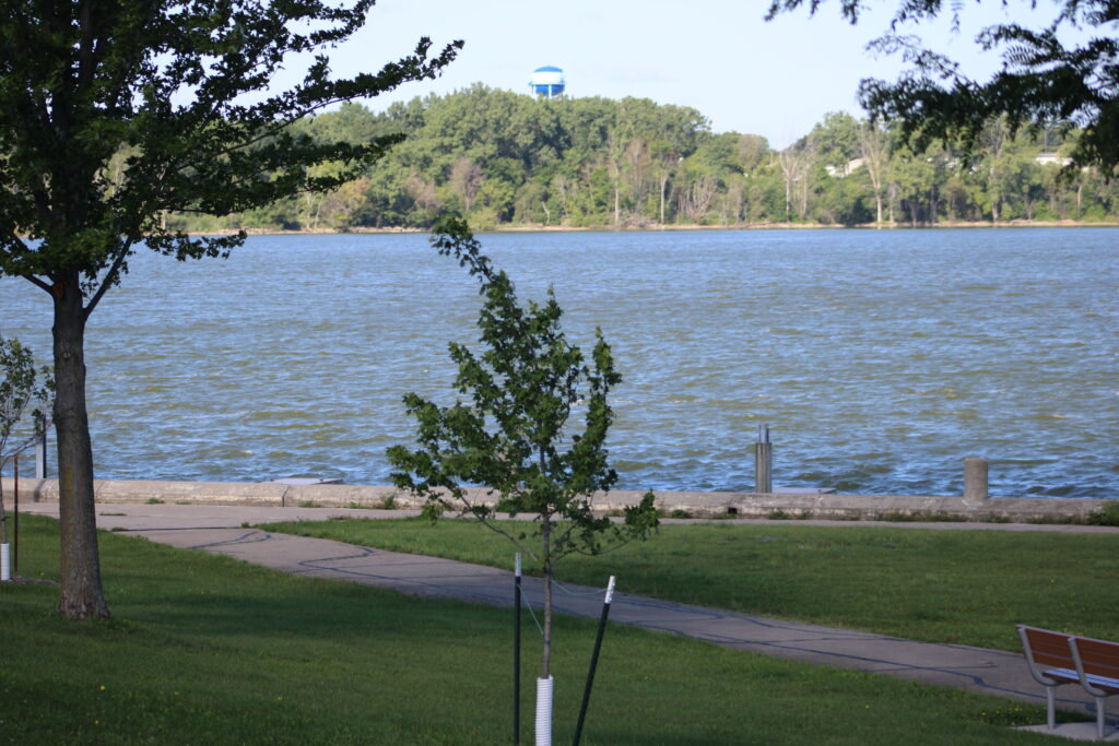
About mid morning we arrived at Voyager Park. We parked and got ready for our walk. The parking lot was about half full at that point, indicating to us that the trail was going to be busy.
First though we walked around Voyager Park. With the river on the west side of the park and the trail on the east, the parking lot separated the Parks paved trails from the Fox River State Trail.
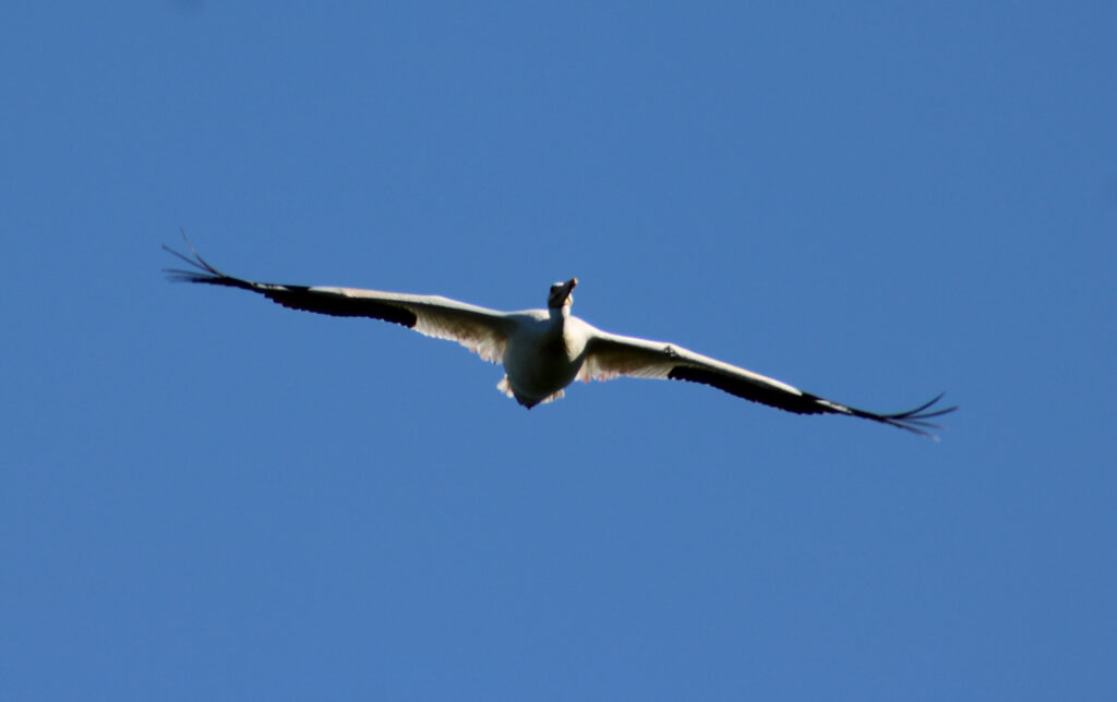
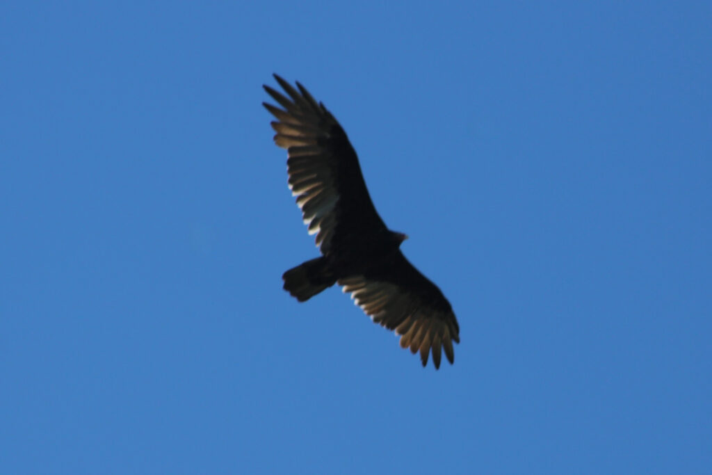
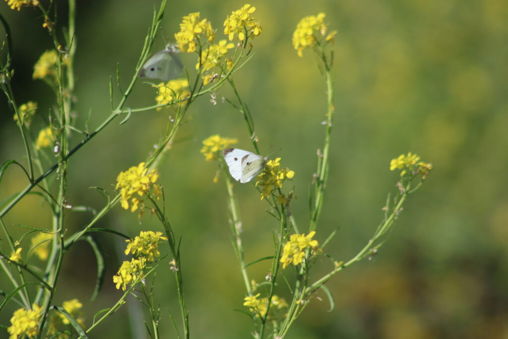
Multiple families played on the playground. One parent watched as his young children raced down one of the small hills. We traveled through it all to see the riverside. Once we got there several different birds few over our heads. Seagulls and pelicans were joined by ospreys and turkey vultures flying over our heads.
We walked through the small and empty marina that marked the exit channel for the De Pere lock. A young man was fishing from the docks. We walked along the floating docks which rocked as the easterly wind whipped up white caps on the river.
We started north along the parks trails hoping to find a connection to the state trail. The trail reached the north end of the park and hooked back south toward the parking lot. My wife and I opted to walk across a grassy ditch and hook up with the the Fox River State Trail.
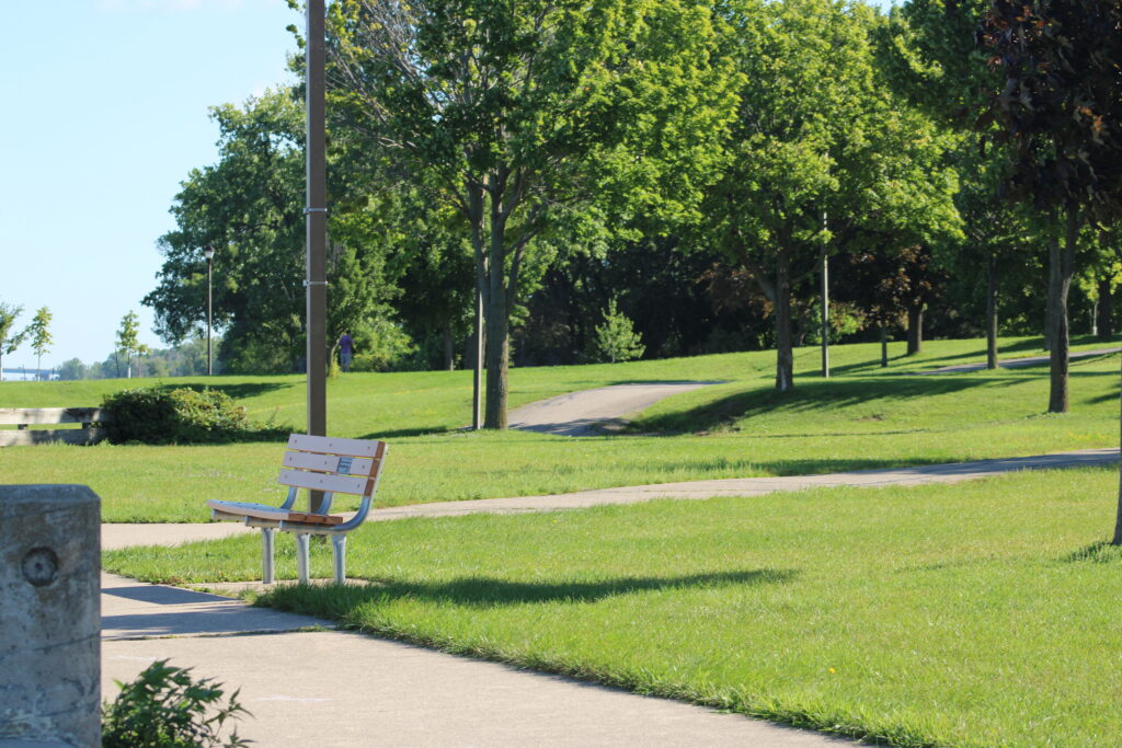
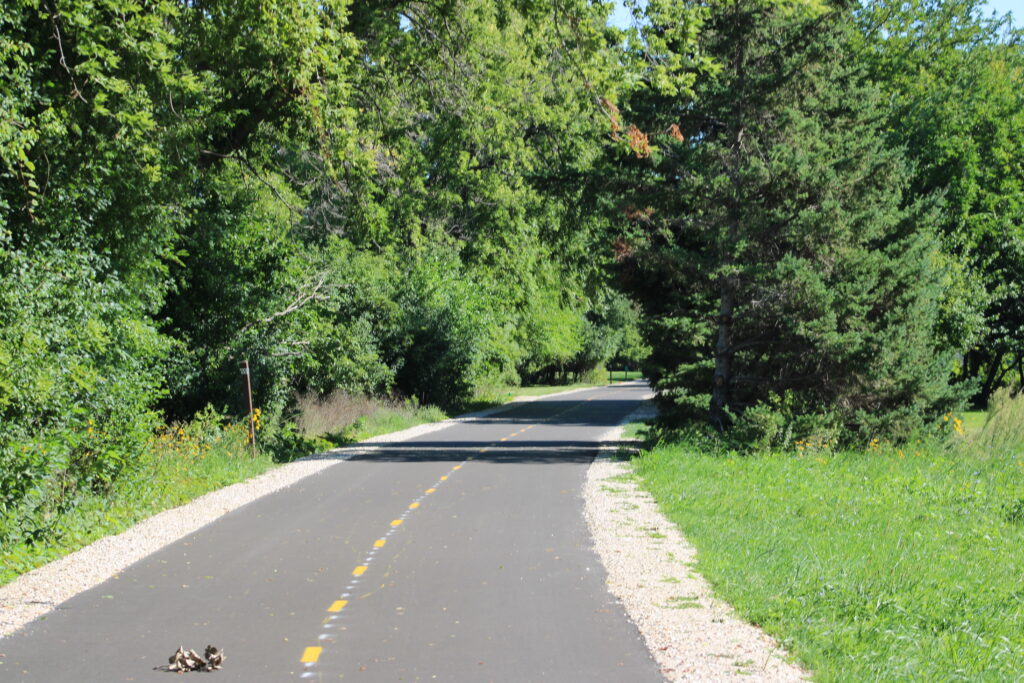
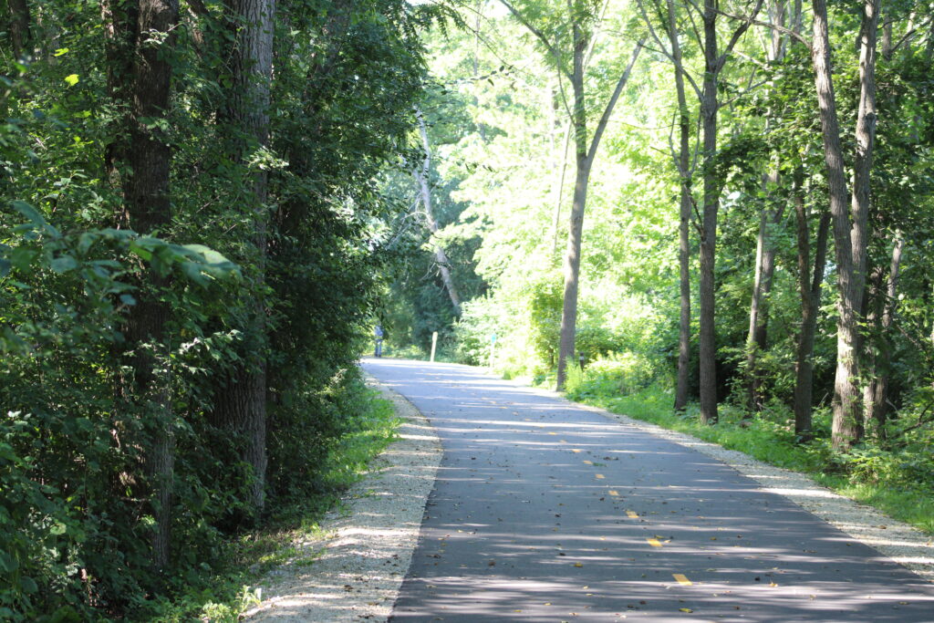
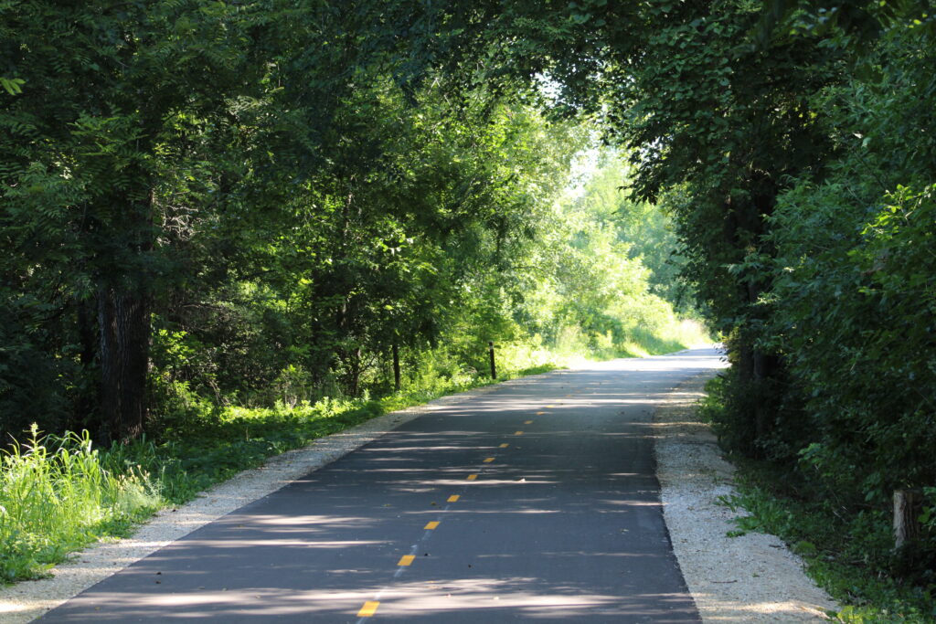
This section of the trail was freshly paved with a nice yellow dashed line dividing the path. Cyclist, hikers, and joggers populated the trail.
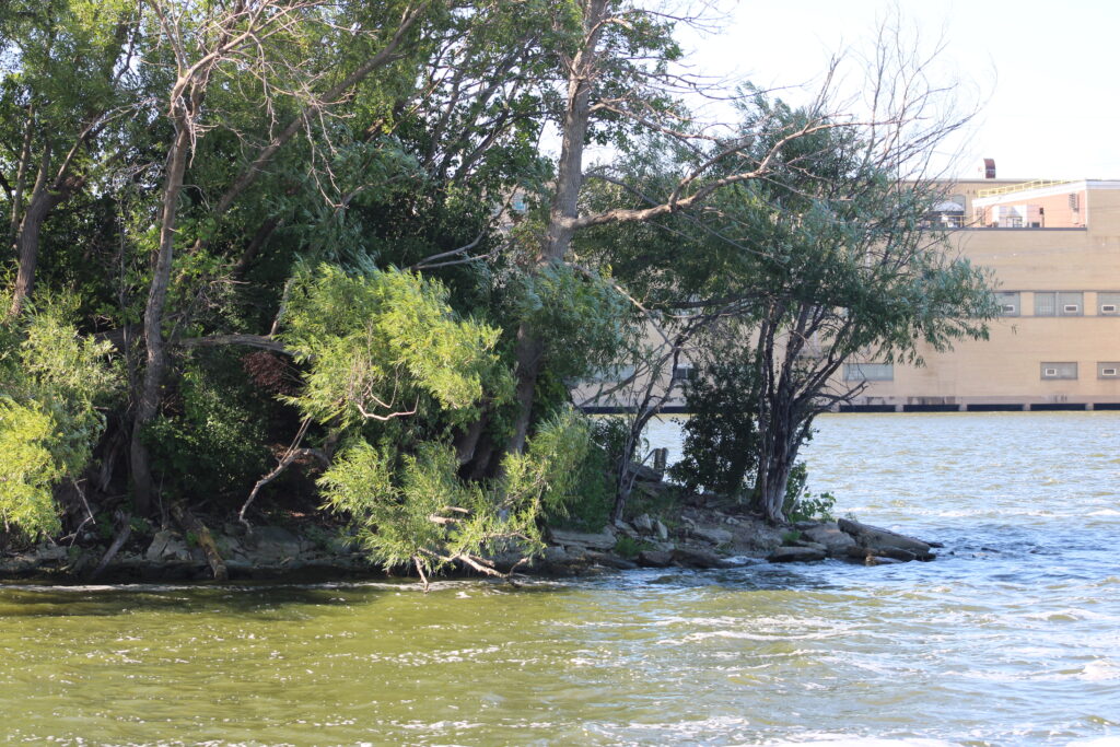
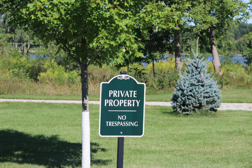
The first section of the trail had luxurious homes on one side and private riverside property on the other. The manicured lawns separating the trail and the river were extensions of the homes to the east. These properties eventually gave way to condos and apartment complexes.
As we hiked we were passed by many cyclists and other hikers. We started to wonder if they even were able to take into account the nature around them. Much of the Green Bay area is urban, but the river and the trail were a place for nature to exist inside of the city.
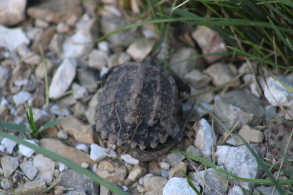
I noticed a small piece of nature on the ground at our feet. A small snaping turtle hatchling was trying to cross the busy trail. At first we could not tell if the small turtle was still alive. The hot pavement may have dehydrated the turtle. We moved it to the river side of the trail and hoped for the best.
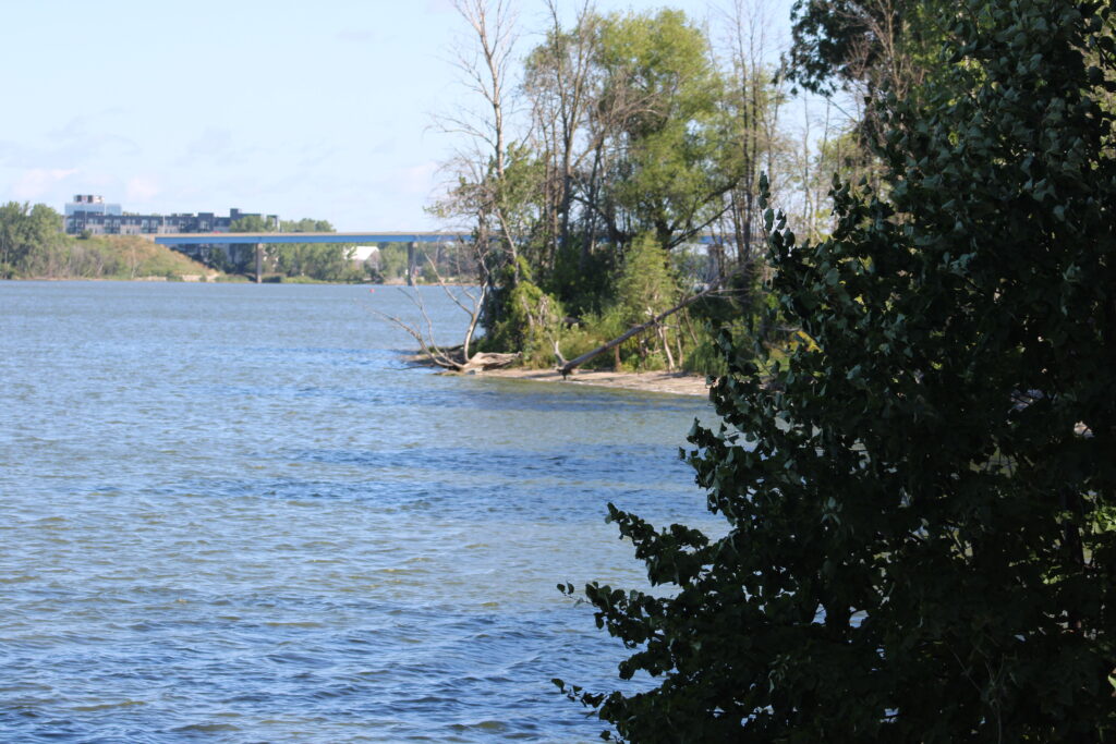
Next we reached the Fox Point boat launch. We walked out to the rivers edge. Since the park, all of the property between the trail and the river was private. With multiple signs indicating not to trespass.
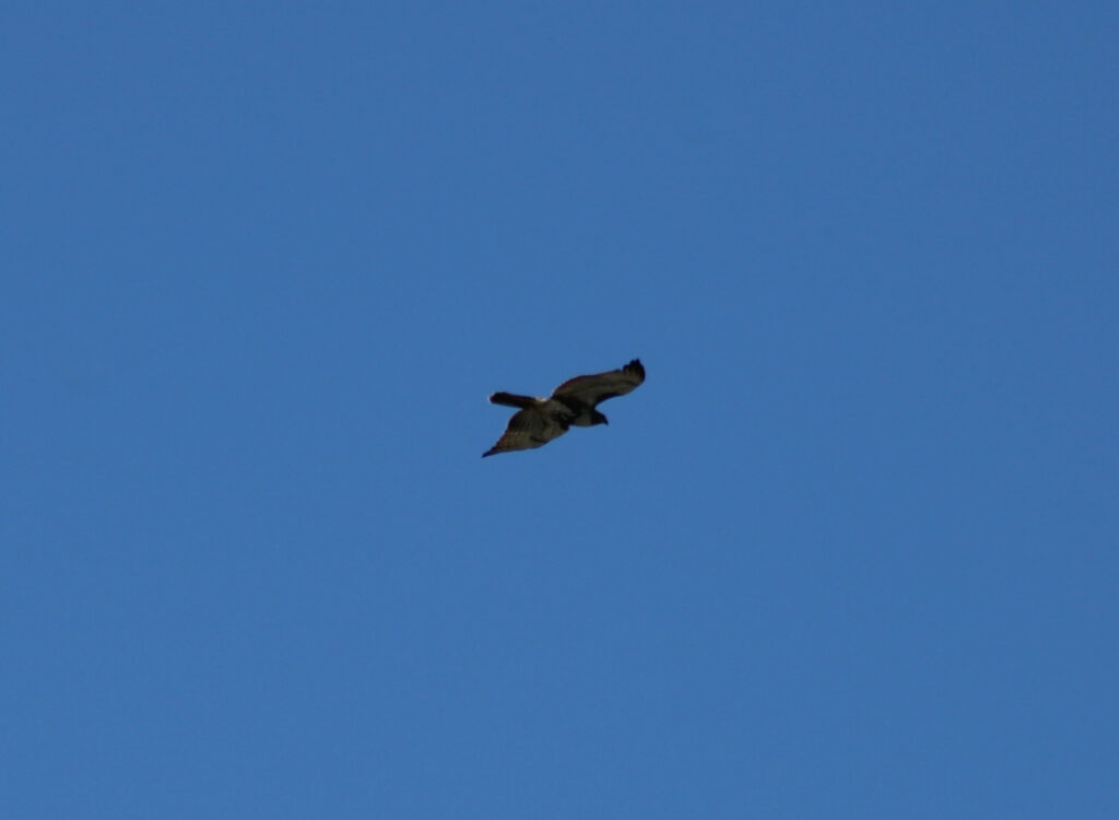
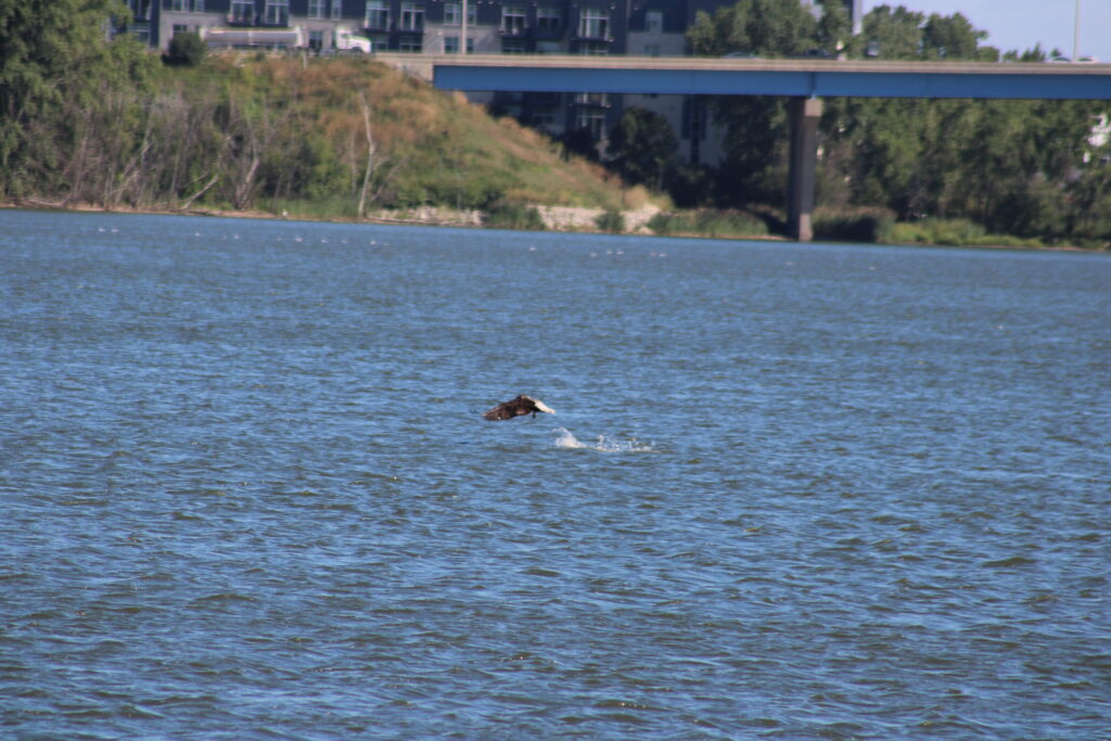
Kayakers and paddle boarders milled around the boat launch as we passed. And as we looked out over the water we saw more large birds. A juvenile eagle and a pelican circled each other just north of the launch.
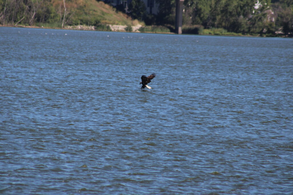
They looked as though they were out maneuvering each other for a chance to catch a fish. First the pelican dropped to the waters surface to scoop a fish. Then I followed the eagle as it circled and eventually scooped a fish off the surface of the water.
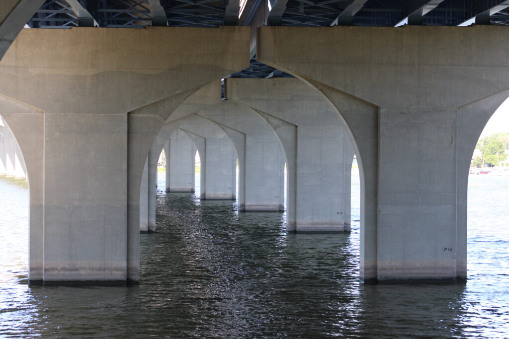
After marveling at the chance to see an eagle hunt we started north again. We could see our goal, the Hwy 172 bridge over the Fox River. The overpass was two miles from Voyager Park the perfect place to turn around for a quick 4 mile hike. Many of the people who used the trail that day we would see again as they returned to their point of origin.
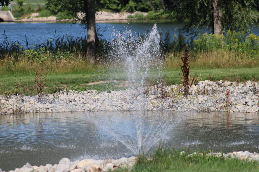
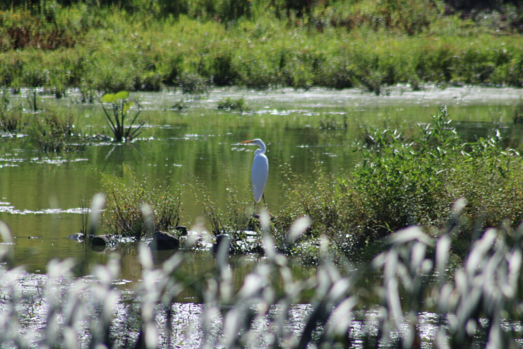
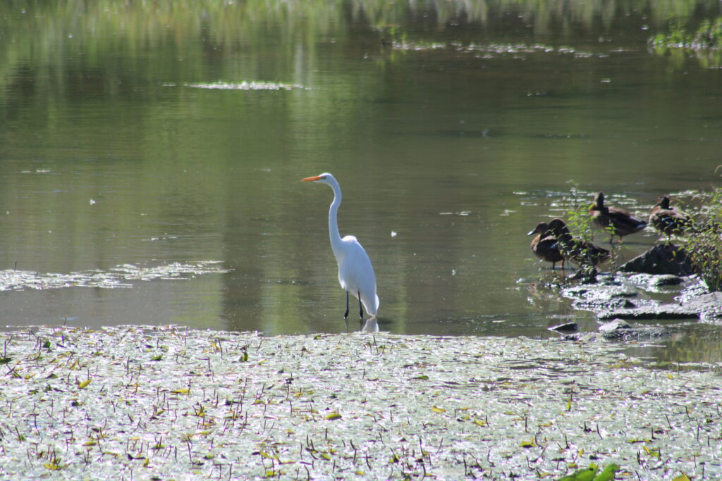
The next site we found was Sunset Park, with a sign marking the former site of Packers coach Vince Lombardi’s home. A little further up the trail we found a set of ponds with an egret standing proudly. Eventually though we made it to our goal.

As we walked underneath the highway we could hear the noise of the vehicles racing over us. Taking a few photos of the architecture we discussed our next moves. We were curious to see what the Heritage Hill property looked like from the trail. So we continued north for a bit longer.
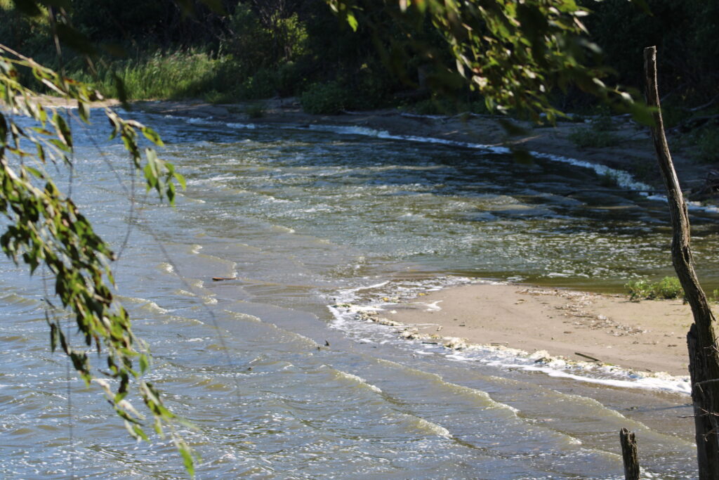
Heritage Hill is a living museum showing life in Wisconsin as European settlers started to come to America. Actors portray the early settlers. A small log cabin stood east of the trail in a fenced off area. However we found a trail leading down to the beach.
The beach had various benches and swings situated around a small bonfire. We looked around for a bit enjoying the shade and wind. So far it had been a fairly windy day which kept the sun from feeling too hot.
Eventually though we knew we would need to head back to our car. So we started back south. We passed the pond with the egret again, and eventually found ourselves back near Sunset Park. At this point we could hear the shrieking of a small hawk above us.
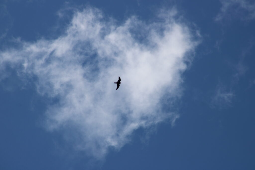
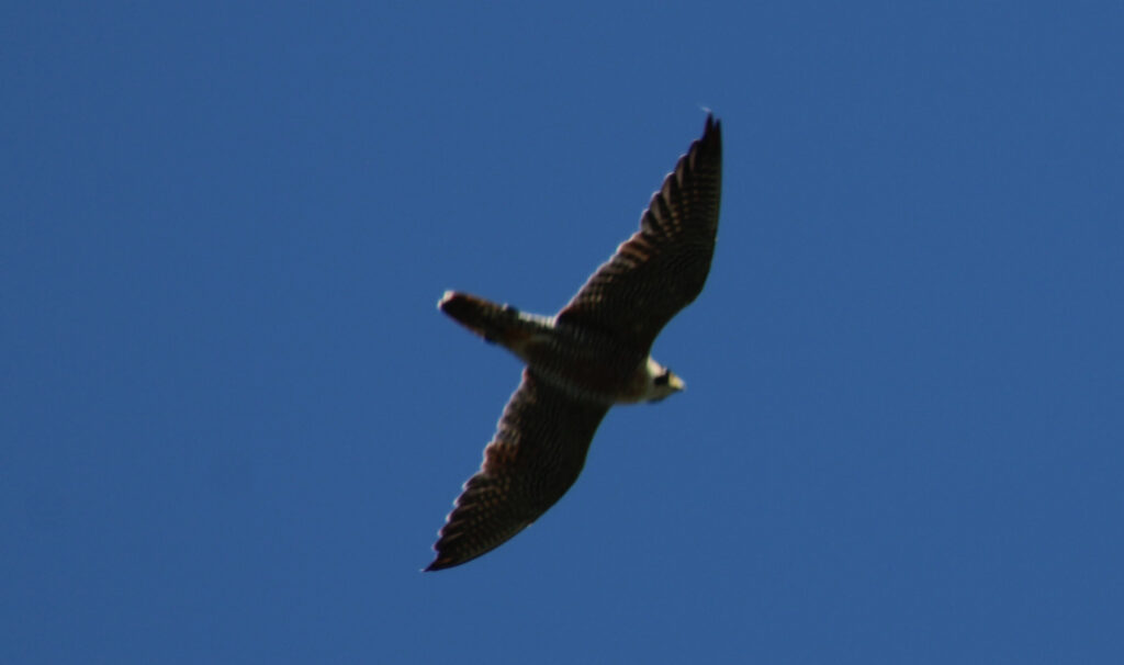
Aiming my camera to the sky I was able to catch a pair of Peregrine Falcons dueling for territory above us. We watched them for a little bit before continuing. We checked for the turtle hatchling as we past were we moved him. And eventually made it back to our car.
Our hike yesterday was enjoyable but crowded. Lots of people enjoy this trail meaning that there were few and far between stretches for trail photos. However there were a few breaks in the traffic.
Some of the cyclists were rude and did not inform us as they passed. And even a few had e-bikes on the trail. There were clear signs that all cyclists, skateboarders, and inline skaters needed to pay a fee to use the trail. However we wondered how well the policy was enforced.
While we will probably visit the trail again for the blog, I don’t know how much I would recommend this trail. I prefer more rural, less used trails. If you don’t mind people you may enjoy this hike.
Let me know what you think in the comments. And if you have any suggestions for trails I would love to hear them. Thanks again for reading.
Mushroom pic is the best!