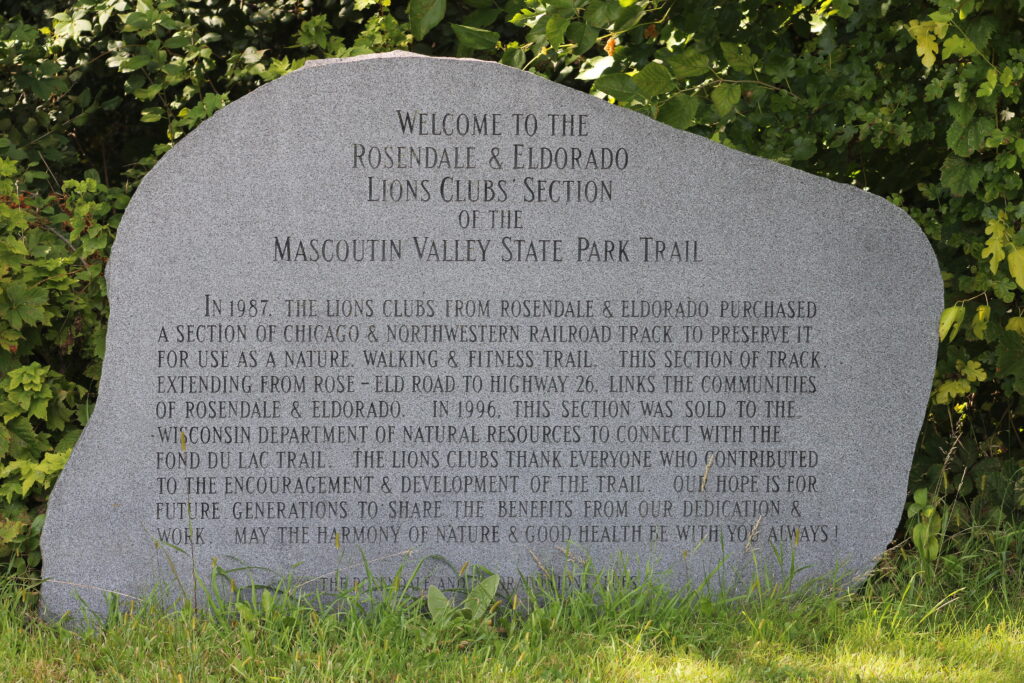
This week we found a new to us trail. To find trails for this blog we often pick up guides and pamphlets. From one of these sources we found out about Mascoutin Valley State Park Trail.
Key Features
- Split into Two Sections: The trail is not continuous. It’s divided into two segments: a western section that runs from Berlin to Ripon and an eastern section that goes from Rosendale to Fond du Lac. The section between Ripon and Rosendale is privately owned.
- Multi-Use Trail: The trail accommodates a variety of recreational activities. It is popular for walking, hiking, and bicycling. During the winter, it becomes part of the local snowmobile trail system, and is also open to cross-country skiing and snowshoeing.
- Horseback Riding: Horseback riding is permitted on the trail in Winnebago and Fond du Lac counties from May to October, though it is not allowed on the Green Lake County portion of the trail.
- Crushed Limestone Surface: The trail’s surface is primarily crushed limestone, with some areas of grass and gravel, making it suitable for hybrid bikes and a pleasant surface for walking.
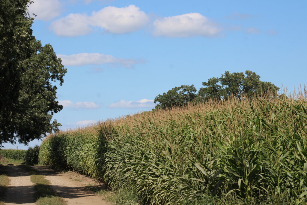
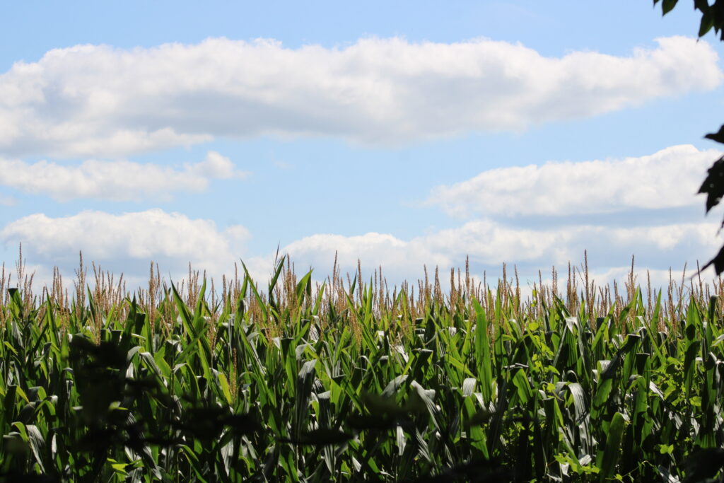
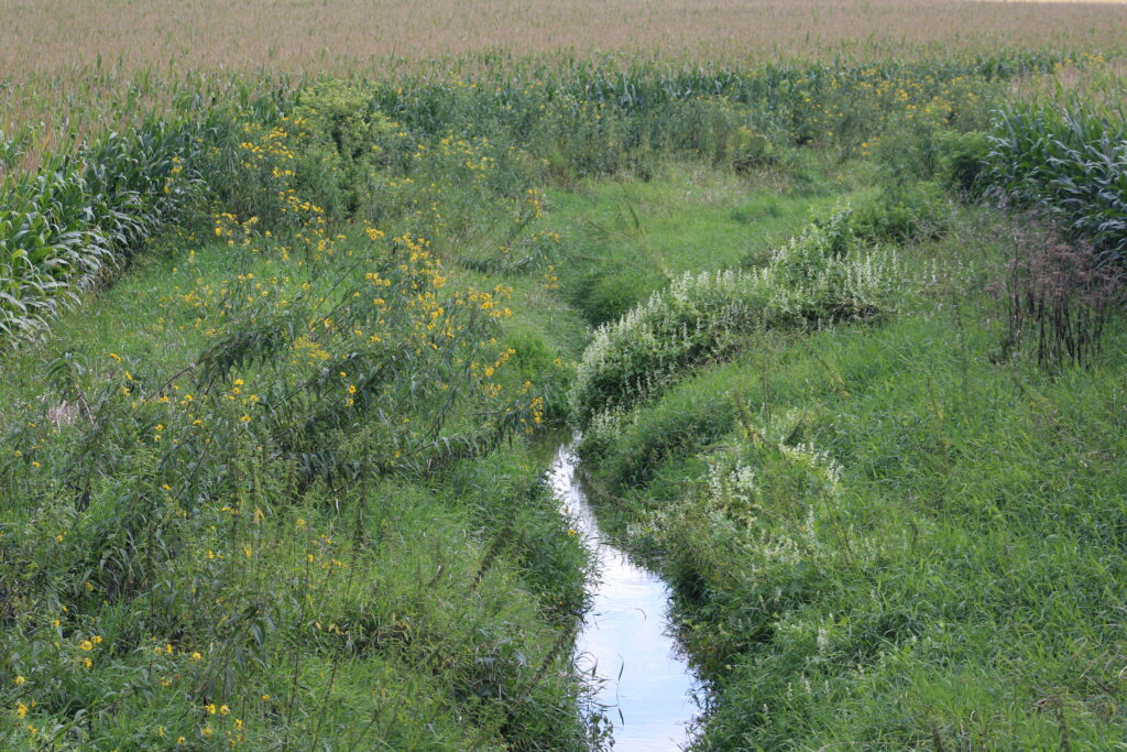
- Scenic and Diverse Landscape: The trail offers a tranquil escape, passing through a variety of landscapes including farms, woods, wetlands, and prairies.
- Wildlife Viewing Opportunities: The trail provides excellent opportunities for observing nature and wildlife. Notable areas for this include the Eldorado Marsh Wildlife Area and the Rush Lake Marsh area.
- No State Trail Pass Required: Unlike some other state trails, a state trail pass is not required to use the Mascoutin Valley State Trail.
- Former Railroad Corridor: The trail is a “rails-to-trails” conversion, meaning it was built on an old railroad corridor. This makes for a relatively flat and level grade, with only minor elevation changes.
- Managed by Multiple Counties: The trail is maintained by a cooperative effort between Fond du Lac, Winnebago, and Green Lake counties, in conjunction with the Wisconsin Department of Natural Resources.
- Accessibility and Amenities: While the trail itself is generally easy to access with various parking locations, it’s important to note that amenities like restrooms and water are not always available directly on the trail. Hikers and bikers should plan accordingly.
Review
We chose to start our trek in Rosendale. Reaching Rosendale we looked for a trail head marker but did not see one. So we stopped at the Rosendale Mobil gas station to check Google Maps and use the rest room. We found that the Mobil station in Rosendale also has an ice cream counter.
After checking the map, we found Zamzow Park might be a good place to park our car. Reaching the park we stopped our vehicle on the side of the street near the trail.
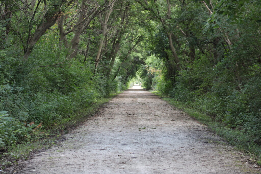
The trail we found was pea gravel and well maintained. Chirping along the trail made us thing we were going to see birds flitting about the trees. But we soon found the source of the sound was a group a chipmunks eating black walnuts fallen from a nearby tree.
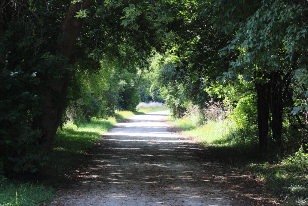
Normally we go hiking in the morning to avoid the hot midday sun. Because my wife worked in the morning we started out on the trail around 2 PM. I was worried that we would spend our entire walk in the sun. We were happy to find though that the trail was lined on both sides by trees and thick brush.
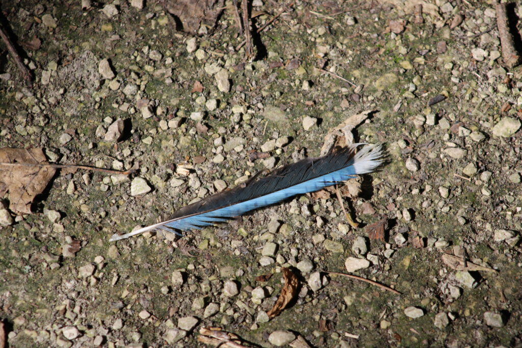
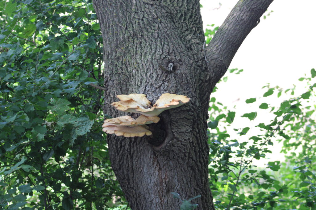
Several other hikers and close to a dozen bikers shared the trail with us that day. As for wild life there was little sign. Small birds flitted from tree to tree.
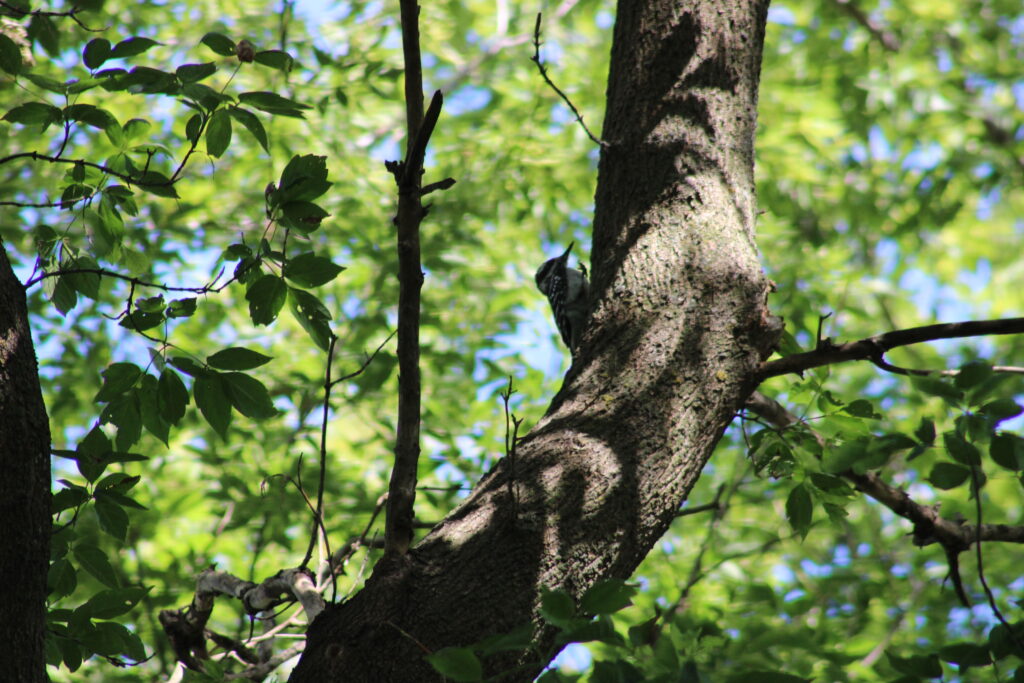
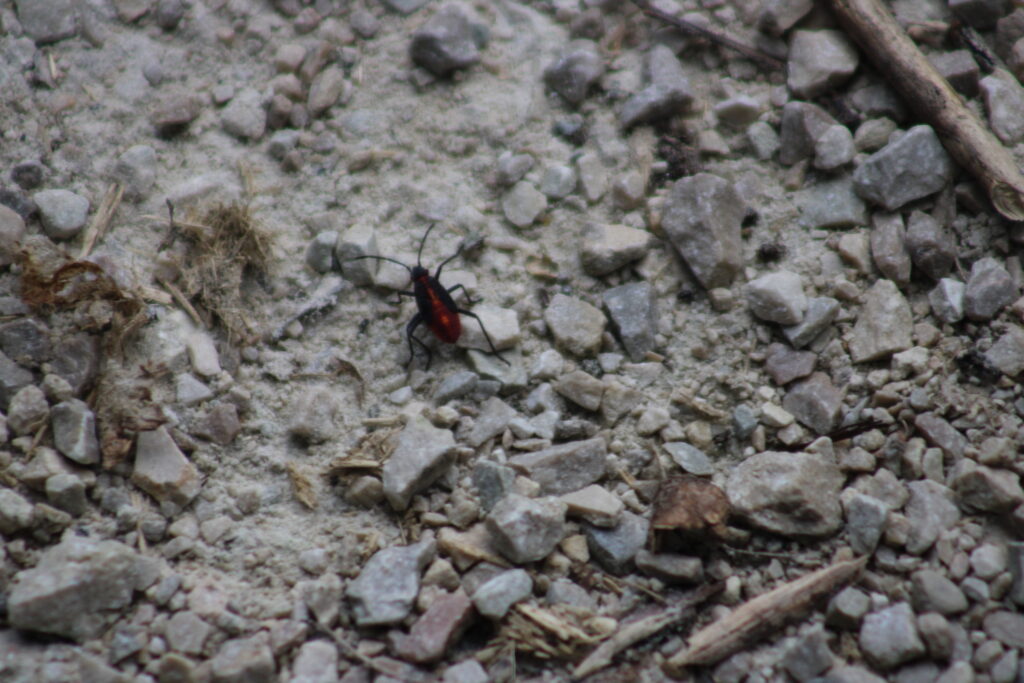
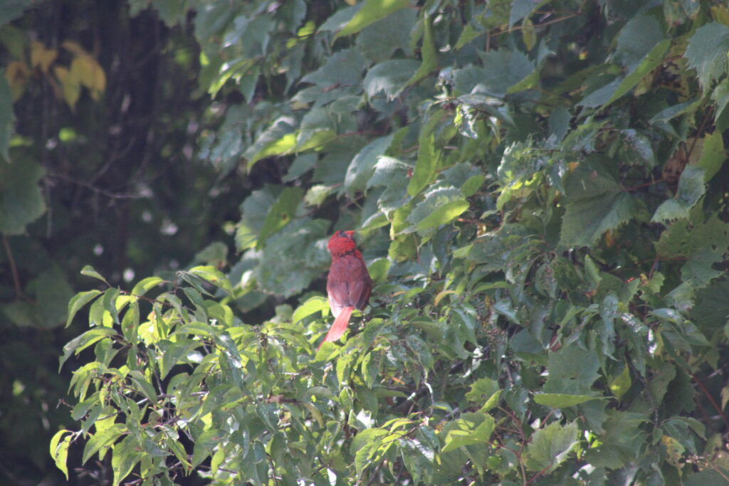
Chipmunks darted onto the trail to pick up fallen nuts. We caught some pictures of Downy Woodpeckers and a few Cardinals. We also noticed the trail was invaded by small red beetles. A quick text message to my brother-in-law, the walking bug dictionary, and we learned they were Boxelder bugs.
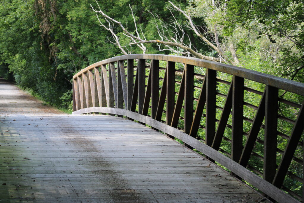
The trail was fairly straight with slight curves and hills to keep us from seeing too far ahead. Our planned hike was from Zamzow Park to Cty Hwy C and then back. In that path there were two bridges crossing shallow streams. The only other landmarks on the trail were two tractor crossings.
While our route was around the same length as our previous hike, there was much less to mark our trip. Thus there are fewer pictures to post.
It was a nice trail to hike though. I do look forward to trying other sections of the trail.
If you are looking to visit make sure to plan first as there are no parking lots near the trail. The parking listed by the trail in the key features is just road side parking. Trails like Wiouwash have lots at many of the road intersections.
Thanks again for reading and sorry this one was short. With the fall nearly upon us I should start to have many colorful tree shots soon so keep visiting. And feel free to leave a comment below.
Pretty, I like the picture of the bluejay feather and the one of the bridge.
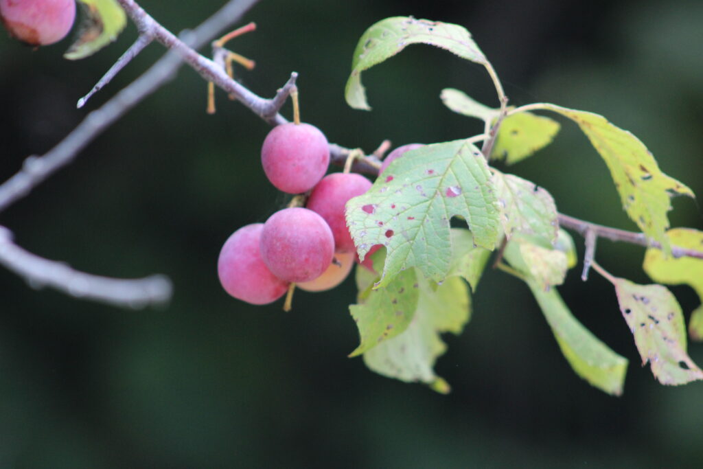
Fruit looks delicious.